A few key changes can help downtowns out of the ‘urban doom loop.’

How do we preserve crucial walkable urban places? Robert Steuteville seeks to answer this question in a piece for CNU Public Square, referencing a new report called Reiminaging Cities: Disrupting the Urban Doom Loop from Cushman & Wakefield with Christopher Leinberger and Places Platform.
The report outlines the importance of Walkable urban places (WalkUPs) as “efficient economic engines” that generate 57 percent of GDP while only taking up 3 percent of land in 15 major metro areas studied by the authors.
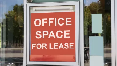
For decades, these urban centers focused on office buildings as the driving force. “Using portfolio theory to rebalance real estate toward less office space (work), more play (culture, entertainment, retail), and more residential (especially for-sale housing) would shift these urban centers back to the positive economic track they were on prior to COVID, the report concludes.”
Key recommendations include reducing the amount of office space and increasing residential units via conversion and new construction, increasing the diversity of businesses and services, and adding more amenities geared toward entertainment and recreation.
The report calls our current ‘doom loop’ an ‘episodic’ one that can be rectified through zoning and regulatory reform and a shift to accommodating more diverse uses and schedules.
FULL STORY: How to reverse the ‘urban doom loop’

Maui's Vacation Rental Debate Turns Ugly
Verbal attacks, misinformation campaigns and fistfights plague a high-stakes debate to convert thousands of vacation rentals into long-term housing.

Planetizen Federal Action Tracker
A weekly monitor of how Trump’s orders and actions are impacting planners and planning in America.

In Urban Planning, AI Prompting Could be the New Design Thinking
Creativity has long been key to great urban design. What if we see AI as our new creative partner?

King County Supportive Housing Program Offers Hope for Unhoused Residents
The county is taking a ‘Housing First’ approach that prioritizes getting people into housing, then offering wraparound supportive services.

Researchers Use AI to Get Clearer Picture of US Housing
Analysts are using artificial intelligence to supercharge their research by allowing them to comb through data faster. Though these AI tools can be error prone, they save time and housing researchers are optimistic about the future.

Making Shared Micromobility More Inclusive
Cities and shared mobility system operators can do more to include people with disabilities in planning and operations, per a new report.
Urban Design for Planners 1: Software Tools
This six-course series explores essential urban design concepts using open source software and equips planners with the tools they need to participate fully in the urban design process.
Planning for Universal Design
Learn the tools for implementing Universal Design in planning regulations.
planning NEXT
Appalachian Highlands Housing Partners
Mpact (founded as Rail~Volution)
City of Camden Redevelopment Agency
City of Astoria
City of Portland
City of Laramie


