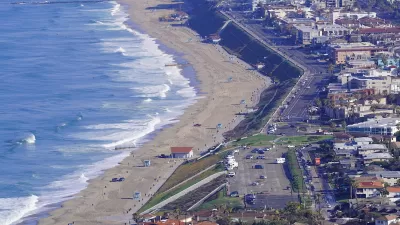
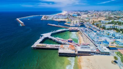
Torrance, a city on the coast of Southern California in the Los Angeles metropolitan area, recently adopted a zoning overlay that will relax commercial zones to allow more residential development.

The city of Torrance will allow residential developments in commercial zones, after the City Council recently approved a housing overlay zone to that effect.
According to a paywalled article by Teresa Lui for the Daily Breeze, the newly approved zoning amendment is intended to help the city meet its target of planning for 5,000 additional homes by 2029, as established in the state-mandated Regional Housing Needs Assessment process.
Non paywalled details on the zoning amendment are available in an article published by the Real Deal. “The amendment sets development standards and requirements, but doesn’t replace the underlying zoning in three commercial and industrial parts of town,” according to the article.
The new overlay “targets nearly 16 acres around Gramercy Place, Prairie Avenue and Spencer Street; another 32 acres along Border Avenue, next to Downtown; and 58 acres around Western Avenue, Maricopa Street and Lomita Boulevard/Madison Street, with various density limits for the three areas,” according to the Real Deal.
“All three areas have maximum building height requirements and neighbor setbacks, which regulate the distance between potential development and single-family neighborhoods.”
Though the new housing overlay is intended to meet state-regulated targets for housing development, it’s unclear from the round of news cited here how the new overlay differs from a recent state law that preempts local control of zoning to allow residential development on all commercial zones statewide.
FULL STORY: Torrance upgrades zoning to allow homes along commercial corridors

Planetizen Federal Action Tracker
A weekly monitor of how Trump’s orders and actions are impacting planners and planning in America.

Maui's Vacation Rental Debate Turns Ugly
Verbal attacks, misinformation campaigns and fistfights plague a high-stakes debate to convert thousands of vacation rentals into long-term housing.

San Francisco Suspends Traffic Calming Amidst Record Deaths
Citing “a challenging fiscal landscape,” the city will cease the program on the heels of 42 traffic deaths, including 24 pedestrians.

Amtrak Rolls Out New Orleans to Alabama “Mardi Gras” Train
The new service will operate morning and evening departures between Mobile and New Orleans.

The Subversive Car-Free Guide to Trump's Great American Road Trip
Car-free ways to access Chicagoland’s best tourist attractions.

San Antonio and Austin are Fusing Into one Massive Megaregion
The region spanning the two central Texas cities is growing fast, posing challenges for local infrastructure and water supplies.
Urban Design for Planners 1: Software Tools
This six-course series explores essential urban design concepts using open source software and equips planners with the tools they need to participate fully in the urban design process.
Planning for Universal Design
Learn the tools for implementing Universal Design in planning regulations.
Heyer Gruel & Associates PA
JM Goldson LLC
Custer County Colorado
City of Camden Redevelopment Agency
City of Astoria
Transportation Research & Education Center (TREC) at Portland State University
Jefferson Parish Government
Camden Redevelopment Agency
City of Claremont


