Fort Worth could spend $136 million on stormwater infrastructure and flood control over the next five years. In all, the city needs more like $1 billion of investment.


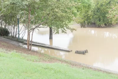
The city of Fort Worth stormwater management program is proposing an $8 million increase in flood control spending over the next five years, a total of $136 million for the city’s storm drains, erosion control, and flood maps, according to a paywalled article by Harrison Mantas for the Fort Worth Star-Telegram.
The big capital investment is still far less than the city needs to address flooding, according to the city’s own analysis. “The city estimated in 2020 it would cost $1 billion to fix 300 of Fort Worth’s most flood-prone areas. In 2020, the city added 35 cents to the stormwater fee to fix 80 of the worst spots,” writes Mantas.
Central to the increase spending on flood control are new flood control maps, under development by the city, which “could be used to guide future zoning decisions and help homeowners better protect themselves against flood risk,” according to the article. “The city has released initial maps that indicate areas where flash flooding is the worst. Those include the Cultural District, Meadowbrook in east Fort Worth, and the intersection of Cleburne Road and West Berry Street."
Read the full story: Fort Worth’s flood problems are a billion-dollar fix. The city is spending $136 million

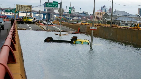
Over a Quarter of US Homes Face ‘Severe or Extreme’ Climate Risk
The number of U.S. homes at risk from hurricanes, fires, or flooding is valued at close to $13 trillion.
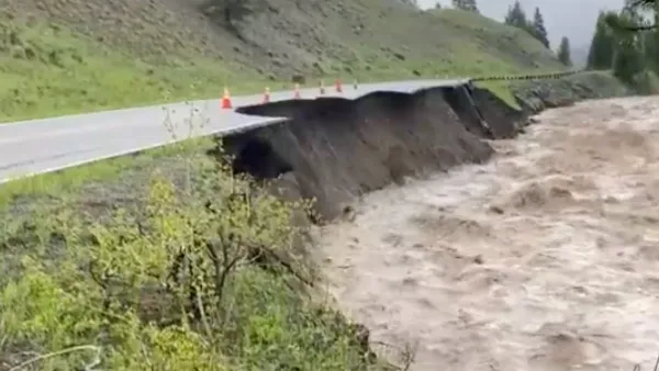
How the Yellowstone Floods Laid Bare a Housing Crisis
This year’s historic floods ravaged communities already roiled by spiking housing costs and a shortage of available workforce housing near the nation’s oldest national park.
'Daylighting' Project to Restore Nature in the Big Apple
More cities are returning waterways to a more natural state—in some cases unearthing them from subterranean pipes in a process known as "daylighting." A new example can be found, perhaps surprisingly, in New York City.

Planetizen Federal Action Tracker
A weekly monitor of how Trump’s orders and actions are impacting planners and planning in America.

California plans to bury El Niño’s downpour
If the state plays its cards right, it may be able to store a billion acre-feet of El Niño’s water in aquifers.

Chicago breaks ground on $3 billion megadevelopment
The new neighborhood, titled Foundry Park, will one day host 3,700 residences.

California High-Speed Rail Authority CEO resigns after $600,000 scandal
Under Ian Choudri, the authority used taxpayer dollars to fund first class flights and trips to nightclubs.

Want to study the Missouri River? Soon, you may need unanimous approval from 10 states
Legislation would require 10 governors’ permission to study or build projects moving water outside the basin.

Desperate measures: Advocates weigh draining Lake Powell to fill Colorado River
Draining the reservoir could reduce evaporation losses by a couple hundred thousand acre-feet.

FREE Course: Walkable City 1: Why Walkability?
After describing his path towards focusing on walkability as the essence of good planning, Jeff Speck marches through his five principal reasons for making more walkable places.
Reinventing Malls: Planning Alchemy—Turning Gray Fields Into Gold
The course focuses on the opportunities and imperatives that shape reinvention of mall sites.

City of Rosemead
Rutgers University, Edward J. Bloustein School of Planning and Public Policy
One Hundred Miles
Hunter College, City University of New York (CUNY)
The Architects Foundation
University of Cincinnati Online
City of Cambridge
Montrose County
The Pocatello Development Authority