As part of a study, the Los Angeles County Department of Parks and Recreation is conducting a survey to better understand the use of facilities like beaches, natural areas, open spaces, regional parks, trails, and local parks in rural areas.



We all need parks. But what are the types of parks and amenities that people use or want the most? To find out, park and recreation agencies typically conduct some type of survey and needs assessment. As Steven Sharp of Urbanize LA reports in this article, the Los Angeles County Department of Parks and Recreation (DPR) is working on a focused update to the 2016 Los Angeles Countywide Parks Needs Assessment called the "Regional and Rural Edition." Specifically, the study is intended to comprehensively identify, analyze, map, and document:
- The need for regional facilities, including regional parks, beaches and lakes, trails, and natural areas and open spaces
- The park needs of rural communities which are primarily located in the Antelope Valley, Santa Clarita Valley, and Santa Monica Mountains
As part of this process, DPR is conducting an online survey to better understand whether and how L.A. County residents are using regional facilities like beaches and lakes, natural areas, open spaces, regional parks, trails, botanical gardens, as well as local parks in rural areas. The survey includes photos to help participants visualize and respond to questions like:
- What does recreation mean to you?
- What types of places do you like to visit when you spend time outdoors?
- What is special to you about these places?
- Has the COVID-19 pandemic affected how often you recreate outside?
- Has COVID-19 made you want more places closer to home to experience outdoor recreation?
- Which mode of transportation do you use most often to get to the outdoors or be in nature?
- Which types of parks do you visit most often?
DPR encourages all L.A. County residents to participate in the survey. For more information about the Regional and Rural Edition, please visit the project website.
Read the full story: L.A. County launches update to regional park needs assessment

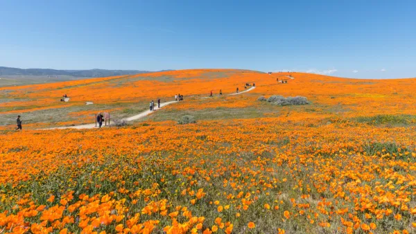
Understanding Regional and Rural Park and Recreation Needs
The Los Angeles County Department of Parks and Recreation is doing a study to inventory and analyze the need for facilities like beaches, natural areas, open space, regional parks, trails, and local parks in rural areas.
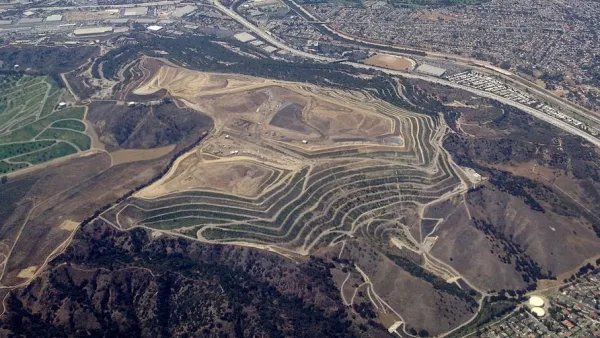
Creating a New Regional Park by Restoring Degraded Lands
Los Angeles County is transforming 142 acres of the Puente Hills Landfill into parkland, creating the first new regional park in the county in over 35 years. The recently released concept plan and renderings show what the park will look like.
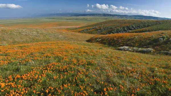
Rural Parks Planning Underway in Los Angeles County
The Los Angeles County Department of Parks and Recreation is conducting a survey to better understand the park and recreation needs of rural areas.

Planetizen Federal Action Tracker
A weekly monitor of how Trump’s orders and actions are impacting planners and planning in America.

California plans to bury El Niño’s downpour
If the state plays its cards right, it may be able to store a billion acre-feet of El Niño’s water in aquifers.

Desperate measures: Advocates weigh draining Lake Powell to fill Colorado River
Draining the reservoir could reduce evaporation losses by a couple hundred thousand acre-feet.

California city breaks ground on transit connector
The project includes three mobility hubs and a pedestrian bridge.

After public outcry, Massachusetts city releases housing development tracker
Cambridge’s tracker currently shows 250 housing projects in various stages of development.

40 years after approval, Chicago breaks ground on new park
The park honors Jean Baptiste Point du Sable, the city’s first permanent non-native settler.

FREE Course: Walkable City 1: Why Walkability?
After describing his path towards focusing on walkability as the essence of good planning, Jeff Speck marches through his five principal reasons for making more walkable places.
Reinventing Malls: Planning Alchemy—Turning Gray Fields Into Gold
The course focuses on the opportunities and imperatives that shape reinvention of mall sites.

City of Rosemead
Rutgers University, Edward J. Bloustein School of Planning and Public Policy
One Hundred Miles
Hunter College, City University of New York (CUNY)
The Architects Foundation
University of Cincinnati Online
City of Cambridge
Montrose County
The Pocatello Development Authority