


A report from the Brookings Institution shows how planners can use new types of anonymized data to inform mobility planning decisions.

A recently published Brookings Institution report, titled "Connecting people and places: Exploring new measures of travel behavior," uses data derived from geolocation sources to analyze information about patterns of travel in six U.S. metropolitan areas.
Thanks to such sources as cell phone data and shared bike platforms, planners now have access to data that could be used to shed light on mobility, reports Bill Lucia. The researchers responsible for the Brookings report assert that the use of this data in planning practice is not only beneficial on the individual level, but also to society at large.
Lucia writes:
The ideas raised in the report tie back to longstanding, and sometimes contentious, policy issues in areas like housing affordability, racial and income inequality, transit, and the legacy of how America has built and reworked cities and suburbs over decades of time.
But the way the researchers tap into the geolocation data to provide a foundation for their analysis underscores how state and local agencies might use this type of information in similar ways to inform policy decisions and discussions surrounding these issues.
The data used in the report was collected and anonymized by the company Replica. Researchers at the Brookings Institution's Metropolitan Policy Program fellow Adie Tomer is quoted in the article saying that the research reveals the power of location data to inform new choices for mobility planning.
FULL STORY: Geolocation Data Could Help Planners Design Communities that Require Less Driving


A Compact, Connected, Clean, and Inclusive Recovery for Mexico
As the Mexican government charts the country’s recovery from COVID-19, a newly published paper charts national solutions to urban transportation and housing challenges that will put Mexico’s cities on a path to prosperity and resilience.
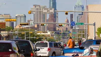
Austin Strategic Mobility Plan Final Draft Released
The first priority of the draft Austin Strategic Mobility Plan is to reduce single-occupant vehicle trips.
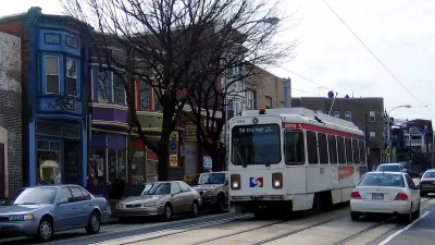
Philadelphia's First Strategic Transportation Plan Released
Getting serious about mobility and traffic safety in the City of Brotherly Love.

Planetizen Federal Action Tracker
A weekly monitor of how Trump’s orders and actions are impacting planners and planning in America.

Maui's Vacation Rental Debate Turns Ugly
Verbal attacks, misinformation campaigns and fistfights plague a high-stakes debate to convert thousands of vacation rentals into long-term housing.

San Francisco Suspends Traffic Calming Amidst Record Deaths
Citing “a challenging fiscal landscape,” the city will cease the program on the heels of 42 traffic deaths, including 24 pedestrians.

Amtrak Rolls Out New Orleans to Alabama “Mardi Gras” Train
The new service will operate morning and evening departures between Mobile and New Orleans.

The Subversive Car-Free Guide to Trump's Great American Road Trip
Car-free ways to access Chicagoland’s best tourist attractions.

San Antonio and Austin are Fusing Into one Massive Megaregion
The region spanning the two central Texas cities is growing fast, posing challenges for local infrastructure and water supplies.
Urban Design for Planners 1: Software Tools
This six-course series explores essential urban design concepts using open source software and equips planners with the tools they need to participate fully in the urban design process.
Planning for Universal Design
Learn the tools for implementing Universal Design in planning regulations.
Heyer Gruel & Associates PA
JM Goldson LLC
Custer County Colorado
City of Camden Redevelopment Agency
City of Astoria
Transportation Research & Education Center (TREC) at Portland State University
Jefferson Parish Government
Camden Redevelopment Agency
City of Claremont