


The massive Port Lands infrastructure project will transform an industrial area by carving out a new island.
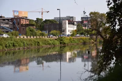
Kenyon Wallace takes a closer look at the Port Lands Flood Protection Project, a $1.25 billion project to naturalize the Don River pathway and help with flood control through construction of a river valley that will result in an island at the river’s mouth.
"The Port Lands, located south of Lake Shore Boulevard between Leslie Street in the east and Cherry Street in the west, are a primarily industrial and commercial neighbourhood built on landfill that was once home to oil tank farms, factories and a city incinerator," writes Wallace.
He describes the different phases of the project in more detail, including the excavation of the river valley, treatment of groundwater, and landscaping along the edge of the river. The entire area will also be raised and will undergo soil stabilization.
"The new island, named Villiers Island, will feature parklands, walking and biking trails, and residential and commercial real estate (not to mention great views of the city skyline). It will also feature the only natural shoreline within the inner harbour, allowing for easy entry into Lake Ontario with canoes and kayaks," says Wallace.
FULL STORY: How do you build an island in Toronto?

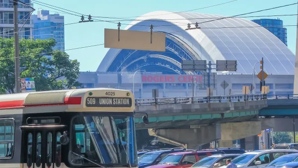
Toronto Weighs Cheaper Transit, Parking Hikes for Major Events
Special event rates would take effect during large festivals, sports games and concerts to ‘discourage driving, manage congestion and free up space for transit.”
Toronto Condo Sales Drop 75%
In two of Canada’s most expensive cities, more condos were built than ever — and sales are plummeting.
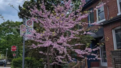
The Most Popular Tree on Google?
Meet Rodney: the Toronto tree getting rave reviews.

Maui's Vacation Rental Debate Turns Ugly
Verbal attacks, misinformation campaigns and fistfights plague a high-stakes debate to convert thousands of vacation rentals into long-term housing.

Planetizen Federal Action Tracker
A weekly monitor of how Trump’s orders and actions are impacting planners and planning in America.

Chicago’s Ghost Rails
Just beneath the surface of the modern city lie the remnants of its expansive early 20th-century streetcar system.

Bend, Oregon Zoning Reforms Prioritize Small-Scale Housing
The city altered its zoning code to allow multi-family housing and eliminated parking mandates citywide.

Amtrak Cutting Jobs, Funding to High-Speed Rail
The agency plans to cut 10 percent of its workforce and has confirmed it will not fund new high-speed rail projects.

LA Denies Basic Services to Unhoused Residents
The city has repeatedly failed to respond to requests for trash pickup at encampment sites, and eliminated a program that provided mobile showers and toilets.
Urban Design for Planners 1: Software Tools
This six-course series explores essential urban design concepts using open source software and equips planners with the tools they need to participate fully in the urban design process.
Planning for Universal Design
Learn the tools for implementing Universal Design in planning regulations.
planning NEXT
Appalachian Highlands Housing Partners
Mpact (founded as Rail~Volution)
City of Camden Redevelopment Agency
City of Astoria
City of Portland
City of Laramie