


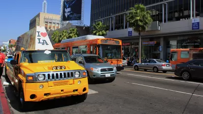
Conventional planning evaluates transport system performance car-centric indicators such as roadway Level-of-Service (LOS). Many jurisdictions are shifting to Vehicle Miles Traveled (VMT), which supports multimodal planning and Smart Growth policies.

[Update: Since we published this article, the video has been removed from YouTube.]
LOS stands for Level of Service, an outdated, discredited, highly car-centric way of measuring how streets work. Historically California law required LOS studies to evaluate environmental impacts. VMT stands for Vehicle Miles Traveled, a newer better way of measuring how streets and projects work.
The shift from LOS to VMT is one of the most important changes that affect vehicle travel, development patterns, health, air quality, and much more. California and Seattle are just two jurisdictions that are shifting to using VMT to evaluate transport system performance. This shift is, unfortunately, a wonky issue, difficult for many people to understand and support.
This new video by Fehr and Peers explains VMT in a fun and accessible way.
FULL STORY: An Introduction to VMT

Level of Service Canceled in Los Angeles
The Los Angeles City Council voted to officially end the use of Level of Service in measuring environmental impact in favor of a more people-friendly measure: vehicle miles traveled.

Planning for Congestion Relief
The third and final installment of Planetizen's examination of the role of the planning profession in both perpetuating and solving traffic congestion.
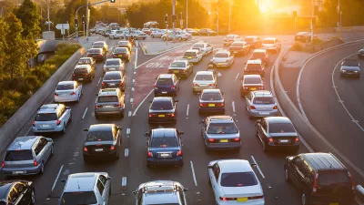
How Planning Fails to Solve Congestion
Solutions for congestion are never as simple and easy as armchair planners and engineers would like you to believe—especially those who suggest that congestion can be solved by forever building more roadway capacity.

Planetizen Federal Action Tracker
A weekly monitor of how Trump’s orders and actions are impacting planners and planning in America.

Chicago’s Ghost Rails
Just beneath the surface of the modern city lie the remnants of its expansive early 20th-century streetcar system.

San Antonio and Austin are Fusing Into one Massive Megaregion
The region spanning the two central Texas cities is growing fast, posing challenges for local infrastructure and water supplies.

Since Zion's Shuttles Went Electric “The Smog is Gone”
Visitors to Zion National Park can enjoy the canyon via the nation’s first fully electric park shuttle system.

Trump Distributing DOT Safety Funds at 1/10 Rate of Biden
Funds for Safe Streets and other transportation safety and equity programs are being held up by administrative reviews and conflicts with the Trump administration’s priorities.

German Cities Subsidize Taxis for Women Amid Wave of Violence
Free or low-cost taxi rides can help women navigate cities more safely, but critics say the programs don't address the root causes of violence against women.
Urban Design for Planners 1: Software Tools
This six-course series explores essential urban design concepts using open source software and equips planners with the tools they need to participate fully in the urban design process.
Planning for Universal Design
Learn the tools for implementing Universal Design in planning regulations.
planning NEXT
Appalachian Highlands Housing Partners
Mpact (founded as Rail~Volution)
City of Camden Redevelopment Agency
City of Astoria
City of Portland
City of Laramie