


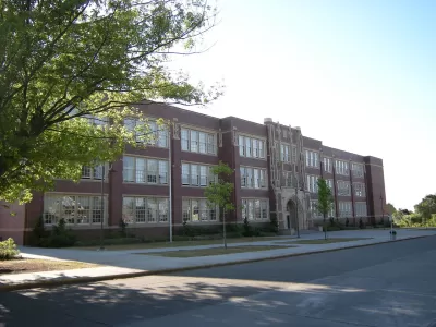
In cities across the U.S., the relationship between residential and school segregation isn’t always clear.
Matt Barnum reports on new research showing that neighborhood integration in a city is not always reflected in relative levels of school integration. “The analysis finds that, between 1990 and 2015, 72 percent of U.S. cities saw their neighborhoods grow less racially segregated, by one measure. Sixty-two percent saw their schools grow more segregated over that same period.”
Of the 100 most populous cities examined, Seattle is at one extreme. Neighborhood segregation decreased between 1990 and 2015, but the percentage of highly segregated schools jumped from 3 percent to 17 percent during that time. While this trend was seen in other cities, the differences were not as significant. And in some cities, neighborhood and school integration both increased over this same period.
Understanding the causes of these trends is more complicated because cities face different issues, says Ryan Coughlan, the researcher behind this study. However, he points to the end of court-ordered desegregation and the increase in school choice, including charter schools, as possible factors.
One limitation of the study is that it did not include charter schools, which make up a big part of school districts in some urban areas. Still, these findings have important policy implications, says Barnum. “More integrated schools have long been shown to improve academic outcomes for low-income students and students of color. Living in a more integrated neighborhood has also been linked to long-run benefits for younger kids.”
FULL STORY: In most U.S. cities, neighborhoods have grown more integrated. Their schools haven’t.

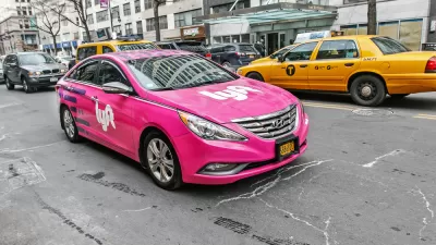
Lyft Goes Greener With EVs
Lyft will add electric vehicles to its rental fleet and offer riders the option to request hybrid and electric vehicles.

Human Waste as a Climate Solution
Using treated waste as an agricultural fertilizer is controversial, but the practice has several climate-related benefits.

The Constitutional Clause Being Used to Threaten Climate Change Policies
An interstate commerce clause is being used to challenge climate change measures and regulations.

Maui's Vacation Rental Debate Turns Ugly
Verbal attacks, misinformation campaigns and fistfights plague a high-stakes debate to convert thousands of vacation rentals into long-term housing.

Planetizen Federal Action Tracker
A weekly monitor of how Trump’s orders and actions are impacting planners and planning in America.

In Urban Planning, AI Prompting Could be the New Design Thinking
Creativity has long been key to great urban design. What if we see AI as our new creative partner?

King County Supportive Housing Program Offers Hope for Unhoused Residents
The county is taking a ‘Housing First’ approach that prioritizes getting people into housing, then offering wraparound supportive services.

Researchers Use AI to Get Clearer Picture of US Housing
Analysts are using artificial intelligence to supercharge their research by allowing them to comb through data faster. Though these AI tools can be error prone, they save time and housing researchers are optimistic about the future.

Making Shared Micromobility More Inclusive
Cities and shared mobility system operators can do more to include people with disabilities in planning and operations, per a new report.
Urban Design for Planners 1: Software Tools
This six-course series explores essential urban design concepts using open source software and equips planners with the tools they need to participate fully in the urban design process.
Planning for Universal Design
Learn the tools for implementing Universal Design in planning regulations.
planning NEXT
Appalachian Highlands Housing Partners
Mpact (founded as Rail~Volution)
City of Camden Redevelopment Agency
City of Astoria
City of Portland
City of Laramie