


Growing set of tools measures the impact of urban form on climate. Hazel Borys reviews highlights of the CNU Climate Summit held last weekend near Washington, D.C.
"A group of concerned urban designers, architects, ecologists, and economists gathered last week in Alexandria, Virginia, to discuss resilience at the CNU Climate Summit. Unable to join, I reached a few participants by phone and followed the Twitter hashtag, #CNUClimate, to hear highlights of the presentations and working groups. Several of their ideas resonate with the resilience thread here, and is another step in the process of answering some of the questions we often pose."
"The central idea of the gathering, in the words of Shelly Poticha: 'Urbanists need a lot more friends to make an impact. More cross-sector collaboration is key to climate resilience.' Susan Henderson agrees, 'The Summit was an intense conversation between groups that usually work independently. One outcome is a wiki of resources that spans many organizations and tools, where we can organically learn from one another, post the value of an improved physical environment, and provide the narrative for change.'"
Borys goes on to talk context, storytelling, tools for measuring impacts, equity and adaptation, and lean regulations. She wraps up with an epic #FridayFollow come early of climate changers.
FULL STORY: CNU Climate Summit Highlights

FEMA Resilience Program Cuts Grant Funding
The Building Resilient Infrastructure and Communities program funded projects from flood prevention to power station upgrades.
Report Outlines Strategies for Resilient Wildfire Recovery in LA
Project Recovery offers a roadmap for rebuilding more sustainable and climate-resilient communities after wildfires and other disasters.
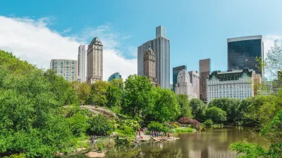
Public Parks as Climate Resilience Tools
Designed with green infrastructure, parks can mitigate flooding, reduce urban heat, and enhance climate resilience, offering cost-effective solutions to environmental challenges while benefiting communities.

Planetizen Federal Action Tracker
A weekly monitor of how Trump’s orders and actions are impacting planners and planning in America.

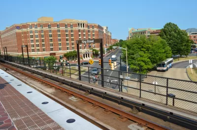
Chicago’s Ghost Rails
Just beneath the surface of the modern city lie the remnants of its expansive early 20th-century streetcar system.

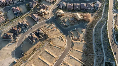
San Antonio and Austin are Fusing Into one Massive Megaregion
The region spanning the two central Texas cities is growing fast, posing challenges for local infrastructure and water supplies.

Since Zion's Shuttles Went Electric “The Smog is Gone”
Visitors to Zion National Park can enjoy the canyon via the nation’s first fully electric park shuttle system.

Trump Distributing DOT Safety Funds at 1/10 Rate of Biden
Funds for Safe Streets and other transportation safety and equity programs are being held up by administrative reviews and conflicts with the Trump administration’s priorities.

German Cities Subsidize Taxis for Women Amid Wave of Violence
Free or low-cost taxi rides can help women navigate cities more safely, but critics say the programs don't address the root causes of violence against women.
Urban Design for Planners 1: Software Tools
This six-course series explores essential urban design concepts using open source software and equips planners with the tools they need to participate fully in the urban design process.
Planning for Universal Design
Learn the tools for implementing Universal Design in planning regulations.
planning NEXT
Appalachian Highlands Housing Partners
Mpact (founded as Rail~Volution)
City of Camden Redevelopment Agency
City of Astoria
City of Portland
City of Laramie