San Antonio is changing, and the city's land use regulations aren't living up to the desires of the city's communities, according to one local architect and planner.



"These days, infill projects are everywhere in the collar neighborhoods [of San Antonio]," according to an article by Jim Bailey. Collar neighborhoods (i.e., "the ring of historic streetcar suburbs around downtown), like Lavaca, Dignowity Hill, and Tobin Hill are under the greatest price-point pressure, but infill is found in many other neighborhoods and could continue to spread.
According to Bailey, "[w]ith our population expected to increase by 1 million people over the next quarter-century and a renewed interest in living the good life in non-auto-dependent, economically integrated neighborhoods, these pressures will continue to mount."
While all this infill pressure is building, Bailey writes that battles between developers, neighbors, designers, and planners are getting ugly. To answer the question of why that is, Bailey proposes the following answer: "There is a disconnect between our desire for walkable traditional neighborhoods and what our development code was designed to accommodate."
The article then goes on to provide more insight into the workings of San Antonio's Unified Development Code, its 2015 Comprehensive Plan, and the overlays and exceptions in the code responsible, according to Bailey, for some of the planning and development confusion in the city's communities.
Read the full story: Infill Development Could Make or Break San Antonio

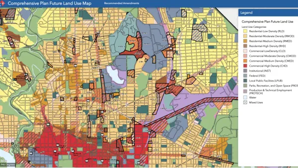
D.C. Comprehensive Plan Update Needs Equity Improvements, Report Says
The new D.C. Office of Equity has produced an evaluation of proposed changes to the D.C. Comprehensive Plan.

Comprehensive Plan Update Stokes Controversy in D.C.
Complex political dynamics are mustering for a showdown over D.C.'s comprehensive plan.

Final Renovation Plan for the Alamo Plaza Approved
The San Antonio City Council culminated years of planning and design this week by approving a plan to overhaul the Alamo Plaza.

Planetizen Federal Action Tracker
A weekly monitor of how Trump’s orders and actions are impacting planners and planning in America.

Amtrak, CN end decades-long dispute with eight-year agreement
The new operating agreement establishes an updated framework for the companies to work together, including processes to resolve disputes.

Judges permit Denver to divert 77,000 acre feet from the Colorado River for reservoir expansion
Overuse and climate change have caused the Colorado River’s water levels to plummet.
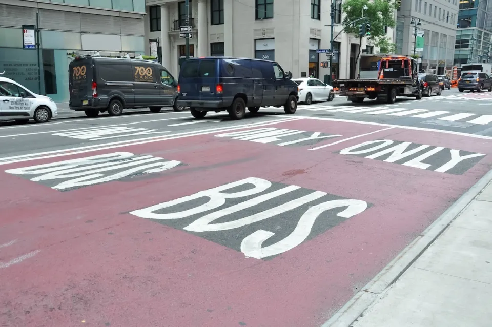
NYC DOT wants faster, more permanent street upgrades
The city is examining ways to build more concrete infrastructure without getting entangled in 'decades-long' projects.

'Something we’ve never seen before:' rising utility rates could strain city finances nationwide
Data centers, climate change and other factors have caused utility rates in the United States to increase by 38% since 2020.

Trump to overrule local leaders, lease millions of acres of America’s Pacific Island territories’ seafloors to mining companies
International law says that the Indigenous people of America’s territories have a right to prior and informed consent regarding projects that impact their countries.

FREE Course: Walkable City 1: Why Walkability?
After describing his path towards focusing on walkability as the essence of good planning, Jeff Speck marches through his five principal reasons for making more walkable places.
Reinventing Malls: Planning Alchemy—Turning Gray Fields Into Gold
The course focuses on the opportunities and imperatives that shape reinvention of mall sites.

Harvard University Graduate School of Design
KFH Group Inc.
Greater Baltimore Committee
The Architects Foundation
University of Cincinnati Online
The Pocatello Development Authority
The Urban Renewal Agency of the City of Pocatello