


East Harlem Rezoning Could Add New Retail to Public Housing Projects
"The de Blasio administration's plan to rezone East Harlem would allow nearly half-a-million square feet of retail to be developed in three public-housing complexes," reports Joe Anuta, citing data found in city documents.
"The Department of City Planning has proposed a rezoning for roughly 95 blocks in East Harlem, which would allow commercial retail development in parts of the Taft, Jefferson and Johnson houses that border four major thoroughfares," explains Anuta of the proposed rezoning. The proposal has already inspired plenty of commentary. In November 2016, Rebecca Baird-Remba reported that the rezoning could generate an estimated 7,500 new apartments. The rezoning could also mean the end of parking minimums and the demise of a quarter of the area's affordable housing stock.
As for the current focus on the retail businesses that could be enabled on properties currently owned by the New York City Housing Authority (NYCHA), there are no current plans to develop the sites. But, writes Anuta, "the authority would have the leeway to come up with a more targeted plan down the road, though it would likely only use a fraction of the 489,000 square feet that the rezoning could make available."
FULL STORY: City's East Harlem plan would allow retail development on NYCHA properties


Transfer of Air Rights Sought to Finance Public Housing Improvements in Brooklyn
The rezoning of the neighborhood of Gowanus in Brooklyn is providing opportunities for local politicians to address local needs.

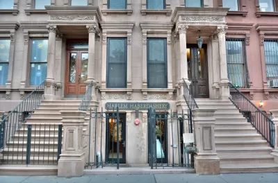
Rezoning Coming to East Harlem
New York City has commenced a Uniform Land Use Review Procedure (ULURP) in the neighborhood of East Harlem. This would be the second rezoning toward Mayor de Blasio's goal for 15 rezonings.

East Harlem Rezoning Could Bring 7,500 New Apartments
Planners released new details of a proposed rezoning on the East Harlem neighborhood in New York City.

Maui's Vacation Rental Debate Turns Ugly
Verbal attacks, misinformation campaigns and fistfights plague a high-stakes debate to convert thousands of vacation rentals into long-term housing.

Planetizen Federal Action Tracker
A weekly monitor of how Trump’s orders and actions are impacting planners and planning in America.

Chicago’s Ghost Rails
Just beneath the surface of the modern city lie the remnants of its expansive early 20th-century streetcar system.

Bend, Oregon Zoning Reforms Prioritize Small-Scale Housing
The city altered its zoning code to allow multi-family housing and eliminated parking mandates citywide.

Amtrak Cutting Jobs, Funding to High-Speed Rail
The agency plans to cut 10 percent of its workforce and has confirmed it will not fund new high-speed rail projects.

LA Denies Basic Services to Unhoused Residents
The city has repeatedly failed to respond to requests for trash pickup at encampment sites, and eliminated a program that provided mobile showers and toilets.
Urban Design for Planners 1: Software Tools
This six-course series explores essential urban design concepts using open source software and equips planners with the tools they need to participate fully in the urban design process.
Planning for Universal Design
Learn the tools for implementing Universal Design in planning regulations.
planning NEXT
Appalachian Highlands Housing Partners
Mpact (founded as Rail~Volution)
City of Camden Redevelopment Agency
City of Astoria
City of Portland
City of Laramie