The city of Philadelphia has deployed high-tech sensors and a new statistical model in its ongoing fight against the blight and health problems that follow vacant and abandoned properties.


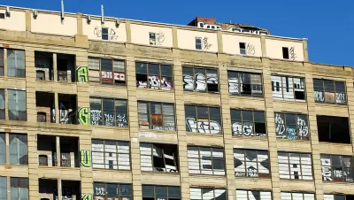
Claudius Vargas reports on the new high tech methods implemented by Philadelphia's Department of Licenses and Inspections (L&I) to monitor vacant properties.
"L&I has developed a high-tech model to determine which properties might be vacant and imminently dangerous before an inspector sets foot on the property," writes Vargas.
The model is built first with high-tech data collection. The city "has new light detection and ranging (LIDAR) technology, which allows inspectors and L&I staff to look at aerial shots of homes and determine which might have collapsing roofs," explains Vargas. "The system, using laser imaging, shows a color range to signal height disparities across a property's roof."
Once that data, and others, are collected, L&I staff use a scoring system between 1 and 49 to rate the safety of vacant and abandoned properties—the higher the number, the more dangerous the property.
FULL STORY: City goes hi-tech with aerial lasers to track abandoned properties

Keys to a Successful Land Bank
Philadelphia recently became the largest U.S. city to create a “land bank.” As new land banks spring up across the country, it is important to take a close look at what needs to accompany them if we want to have real impact.
Quantifying the Impact of Abandoned Properties in Philly
A new study suggests that Philadelphia's 40,000 vacant buildings reduce home values by as much as $8,000 and cost the city $20 million per year in maintenance.
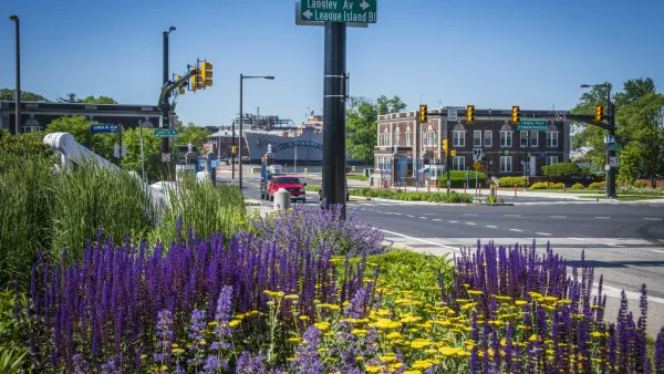
Philadelphia sees 29% drop in gun violence near new green spaces
A city-backed program that cleans up blighted and vacant lots is creating new public spaces and reducing crime in surrounding communities.

Planetizen Federal Action Tracker
A weekly monitor of how Trump’s orders and actions are impacting planners and planning in America.

The state-sanctioned urbicide of Austin
People don’t kill cities. Freeways do.

US to reduce Colorado River water deliveries to Mexico
A new Colorado Treaty amendment reduces Mexico’s Colorado River water allocation by 250,000 acre feet.

Amtrak not solely to blame for New Jersey commuter rail's unreliability, report finds
A new study from the Garden State initiative found that NJ Transit’s budget grew 20% across a 4 year period, but reliability declined significantly over the same period.

EPA erases limits on planet-warming pollution from power plants
Under Monday’s plan, power plants would still have some limits on how much mercury, arsenic and other contaminants they can emit.

Phoenix announces new on-demand transit service, more frequent RAPID buses
Both new services will launch in October, and are part of Phoenix's Project Effective Access Solutions for Easing Congestion.

FREE Course: Walkable City 1: Why Walkability?
After describing his path towards focusing on walkability as the essence of good planning, Jeff Speck marches through his five principal reasons for making more walkable places.
Reinventing Malls: Planning Alchemy—Turning Gray Fields Into Gold
The course focuses on the opportunities and imperatives that shape reinvention of mall sites.

Eagle County Government
Harvard University Graduate School of Design
Nashville Planning Department
The Architects Foundation
University of Cincinnati Online
The Pocatello Development Authority
The Urban Renewal Agency of the City of Pocatello
Journal of the American Planning Association