Professor Zhenghong Tang, from the Community and Regional Planning Program at University of Nebraska-Lincoln, taps mobile tech, aids access to environmental data.


Research by Zhenghong Tang is using smart phones to expand public access to environmental data.
Working with federal, state and local organizations, the associate professor of community and regional planning at the University of Nebraska–Lincoln has created a series of apps that drill into and organize expansive, online scientific databases. The apps, which include Nebraska Wetlands, the U.S. Green Infrastructure Reporter, the Omaha Green Infrastructure, and a to-be-released reporter focused on underground water, present environmental data in an easily accessible and readily understandable format, promoting public awareness and engagement in environmental issues.
"All of this scientific data is available already online to anyone, but it is not presented in a way that is easy to understand," Tang said. "Through these educational apps, our goal is to make the data accessible and usable for the average citizen."
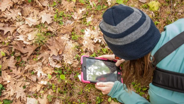
The apps also feature a social component, allowing users to become citizen scientists and participate in data collection. For instance, the Nebraska Wetlands app includes an option for users to report current wetland conditions through writing, photographs and videos.
"Providing access to the government databases is important, but it is equally important to provide a real-time reporting system for citizens," Tang said. "By giving that option, citizens can actively engage in science and contribute to environmental management. The information they send also provides a real-time report on conditions, something that the government databases cannot always provide."
The app projects were developed with faculty and students in UNL's Department of Computer Science and Engineering. The team included Tang, Hongfeng Yu, assistant professor; and students Yanfu Zhou and Jieting Wu.
Read the full story: Tang taps mobile tech, aids access to environmental data

Mobile App Makes DC Transit Easy to Navigate for Visually Impaired Riders
The app gives step-by-step directions and audio and visual cues accessible from anywhere for thousands of bus stops and rail stations.
Detecting Invasive Species Early Through Citizen Science
Community science platforms like eBird and iNaturalist enhance early detection of invasive species, complementing professional surveillance and highlighting the need for stronger collaboration between the public and official authorities.

New Research Builds Evidence for Zoning Reform
Cityscape has published a collection of new research building support for zoning reforms as a tool for mitigating the effects of the housing affordability crisis.

Planetizen Federal Action Tracker
A weekly monitor of how Trump’s orders and actions are impacting planners and planning in America.

California plans to bury El Niño’s downpour
If the state plays its cards right, it may be able to store a billion acre-feet of El Niño’s water in aquifers.

Desperate measures: Advocates weigh draining Lake Powell to fill Colorado River
Draining the reservoir could reduce evaporation losses by a couple hundred thousand acre-feet.

Chicago voters approve permanent festival grounds, penalty for vacant property owners
Currently, major summer and fall festivals take over public parks for weeks at a time, drawing criticism from nearby residents

NYC votes to cut outdoor dining red tape, speed up permitting
New York City also voted to allow the Department of Transportation to begin work on urgent projects before notifying elected officials.

California appears to reject Prop. 45
The proposition would have expanded the projects that qualify for a streamlined environmental review, effectively paring down the California Environmental Quality Act.

FREE Course: Walkable City 1: Why Walkability?
After describing his path towards focusing on walkability as the essence of good planning, Jeff Speck marches through his five principal reasons for making more walkable places.
Reinventing Malls: Planning Alchemy—Turning Gray Fields Into Gold
The course focuses on the opportunities and imperatives that shape reinvention of mall sites.

City of Rosemead
Rutgers University, Edward J. Bloustein School of Planning and Public Policy
One Hundred Miles
Hunter College, City University of New York (CUNY)
The Architects Foundation
University of Cincinnati Online
City of Cambridge
Montrose County
The Pocatello Development Authority