A conversation with an architect yields insight into how Houston's pride in the lack of traditional land use regulation mechanisms has created the city as it exists today.


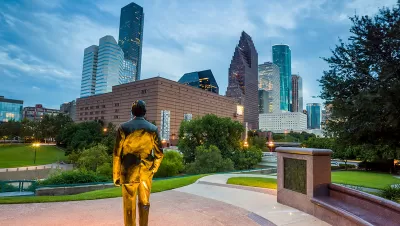
The Rice Design Alliance recently awarded its Spotlight Prize, recognizing up-and-coming architects, to the firm Oualalou + Choi, located in Paris and Casablanca. To commemorate the award, the Houston Chronicle excerpted an interview between Raj Mankad, of the Rice Design Alliance, interviewed Tarik Oualalou. The interview was originally published by the Houston-based architecture and design magazine Cite.
A few of the key excerpts from the interview, in which Mankad and Oualalou examine the city's land use regimes for insight into the city's built form. The interview, especially the portion excerpted in the Houston Chronicle, offers interesting opinions on the effects of planning and land use in this uniquely governed city, all from an architect's perspective:
- "You see spurts of building in short periods of time. So it's very dated. You see a lot of things in the late '70s, and then not in the '80s, a lot of things in the early '90s, and then not. These spurts of construction in short periods of time give it a very dated figure, almost like it's frozen in time….. It's not a city that builds over time. It just builds in moments. It creates a weird "stroboscopic" feel."
- "If there's no counter power, if there's no state, if there's no city, if there's no municipal system, if there's no public desire, organized public desire of sorts — whether it's community or elected or whatever it is — then the developer has no counter power."
Read the full story: “Our responsibility as architects is to invent the form of public-ness:” An Interview of Tarik Oualalou
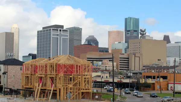
Watch: Debunking Myths About Houston's Lack of Zoning
A video published last week by City Beautiful reveals the myths and misconceptions of Houston's land use regulation system.
Planning Without Zoning: The Houston Story
Houston is famous in planning circles for lacking a zoning code, but that doesn't mean planners don't have plenty of tools to determine the future of the city.
Not Just Use: More Zoning Regulations to Unlock Housing Equity
Prohibiting single-family zoning alone won’t accomplish the needed transformation of the built environment in the United States.

Planetizen Federal Action Tracker
A weekly monitor of how Trump’s orders and actions are impacting planners and planning in America.

Eastern Nebraska is running out of electricity
Data centers and electrification are straining eastern Nebraska’s grid, throttling economic development.

Study reveals best places in the U.S. for cycling, walking
New research from Streetlight Data examines bicycle and pedestrian miles per capita in the 100 largest U.S. cities by population.

DSA members accuse Mamdani of 'abandoning values' over housing redevelopment
New York City's mayor plans to replace about 2,000 units of public housing with private, mixed-income housing.

All sides of BRT debate unhappy with CDOT’s most recent move
The Colorado Department of Transportation is no longer considering center-running bus lanes for Colorado Boulevard.

Massachusetts bogs generate both power, and cranberries
Putting solar panels above farmland is one way Massachusetts is advancing toward its goal of net-zero carbon emissions by 2050.

FREE Course: Walkable City 1: Why Walkability?
After describing his path towards focusing on walkability as the essence of good planning, Jeff Speck marches through his five principal reasons for making more walkable places.
Reinventing Malls: Planning Alchemy—Turning Gray Fields Into Gold
The course focuses on the opportunities and imperatives that shape reinvention of mall sites.

City of Rosemead
Rutgers University, Edward J. Bloustein School of Planning and Public Policy
One Hundred Miles
University of Michigan School for Environment and Sustainability (SEAS)
Hunter College, City University of New York (CUNY)
The Architects Foundation
City of Cambridge
The Pocatello Development Authority
The Urban Renewal Agency of the City of Pocatello