An Oxford city councillor would like to bring a Swiss system of erecting "ghost building" profiles to the UK for the first time to help residents and officials understand the scale of proposed projects before granting permits.


In many communities, public officials are content to let architectural drawings and renderings depict the scale and impact of proposed projects. But in Switzerland, "planning policy requires the erection of the profile of a building before it is granted permission to be built," explains Oliver Wainwright. "Constructed from metal rods or wooden poles, fixed in place by wire guy ropes, the Swiss baugespanne or bauprofile are usually erected for a month, outlining the full height of the proposed development, with protruding markers to indicate the angle of the roof and direction of the walls."
In Oxford, where a recent student housing project blocked "long-cherished views of the city's dreaming spires," city councillor James Fry would like to introduce a similar system. "Whether it's house extensions or tower blocks, many residents are shocked when they see the actual scale of developments that have been approved on the basis of drawings," says Fry. "Anything that makes it easier to understand the reality of the proposal should only be encouraged."
If you're interested in more technologically advanced systems for achieving a similar result, look to Finland, where Wainwright says a smartphone app uses augmented reality software "to give the public a better idea of proposed developments."
Read the full story: 'Ghost buildings' to help public envisage impact of developments


4 Ways to Use AI in Urban Planning and City Design
With the ability to predict trends, engage citizens, enhance resource allocation, and guide decision-making, artificial intelligence has the potential to serve as planners’ very own multi-tool.

Friday Eye Candy: AI Envisions Solutions to the Challenges Facing Cities
Phoenix reimagined for shade. Los Angeles as a place where everybody walks. San Francisco with affordable housing. AI makes a vision of the future possible.

Friday Eye Candy: 20 AI-Generated Cityscapes
AI-generated images are creating new landscapes and cityscapes, capable of inspiring awe or fear.

Planetizen Federal Action Tracker
A weekly monitor of how Trump’s orders and actions are impacting planners and planning in America.

Amtrak, CN end decades-long dispute with eight-year agreement
The new operating agreement establishes an updated framework for the companies to work together, including processes to resolve disputes.

Judges permit Denver to divert 77,000 acre feet from the Colorado River for reservoir expansion
Overuse and climate change have caused the Colorado River’s water levels to plummet.
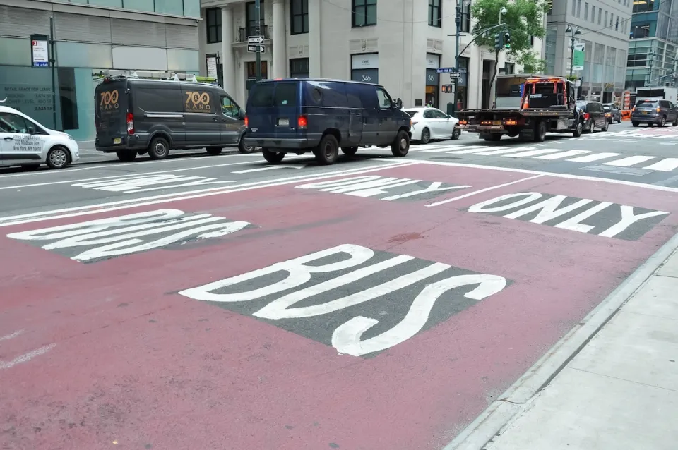
NYC DOT wants faster, more permanent street upgrades
The city is examining ways to build more concrete infrastructure without getting entangled in 'decades-long' projects.

'Something we’ve never seen before:' rising utility rates could strain city finances nationwide
Data centers, climate change and other factors have caused utility rates in the United States to increase by 38% since 2020.

Trump to overrule local leaders, lease millions of acres of America’s Pacific Island territories’ seafloors to mining companies
International law says that the Indigenous people of America’s territories have a right to prior and informed consent regarding projects that impact their countries.

FREE Course: Walkable City 1: Why Walkability?
After describing his path towards focusing on walkability as the essence of good planning, Jeff Speck marches through his five principal reasons for making more walkable places.
Reinventing Malls: Planning Alchemy—Turning Gray Fields Into Gold
The course focuses on the opportunities and imperatives that shape reinvention of mall sites.

Harvard University Graduate School of Design
KFH Group Inc.
Greater Baltimore Committee
The Architects Foundation
University of Cincinnati Online
The Pocatello Development Authority
The Urban Renewal Agency of the City of Pocatello