This just in: Neighborhood Units missing in action as cities continue to attempt 3D governance using 2D laws. Howard Blackson argues why Neighborhood Units are the key element to placemaking.


"Urban Design is concerned with the practice of designing, repurposing and revitalizing 3-dimensional places. These place types are described in Charter of the New Urbanism principles, as, “The neighborhood, the district, and the corridor are the essential elements of development and redevelopment in the metropolis. They form identifiable areas — centers, edges and in-between — that encourage citizens to take responsibility for their maintenance and evolution. Neighborhoods should be compact, pedestrian-friendly, and mixed-use. Districts generally emphasize a special single use, such as airports, campuses, and industry. Corridors are regional connectors of neighborhoods and districts; they range from boulevards and rail lines to rivers and parkways.”
Blackson goes on to discuss place types, comparisons between various cities, and concludes that the missing tool in most Cities are Neighborhood Units:
"Neighborhood Units have proven to make planning and design more manageable in Denver, Miami, and Ventura (cities that have recently implemented FBCs), but are still mostly missing from municipal policies and codes. Defining Neighborhood Units enables new development to make Community Character compatibility decisions versus 2-dimensional Land Use compatibility conformance findings."
Read the full story: Neighborhood Units Matter
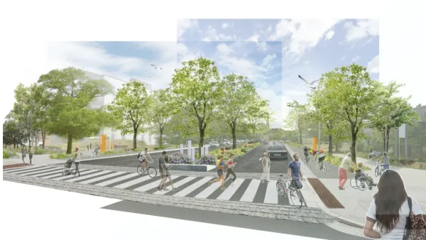
Portland’s corridor redesign imagines an ‘urban street’
The plan creates more space for sidewalks and bike lanes along Franklin Street, and adds more intersections to help slow traffic.
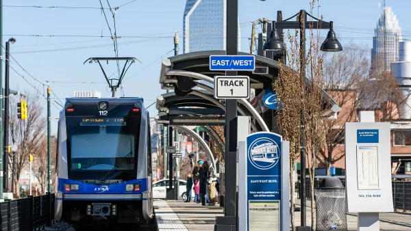
The triumph and tragedy of light rail in Charlotte
Like the iPhone, Charlotte's Blue Line represents a missed opportunity for the public to recoup the value it created.

San Diego wants to limit upzoning law to just 16% of transit-adjacent parcels
The city's planning director says some areas are unfit for immediate upzoning due to a lack of resources or hazards such as wildfire risk.

Planetizen Federal Action Tracker
A weekly monitor of how Trump’s orders and actions are impacting planners and planning in America.

Eastern Nebraska is running out of electricity
Data centers and electrification are straining eastern Nebraska’s grid, throttling economic development.

Study reveals best places in the U.S. for cycling, walking
New research from Streetlight Data examines bicycle and pedestrian miles per capita in the 100 largest U.S. cities by population.

DSA members accuse Mamdani of 'abandoning values' over housing redevelopment
New York City's mayor plans to replace about 2,000 units of public housing with private, mixed-income housing.

All sides of BRT debate unhappy with CDOT’s most recent move
The Colorado Department of Transportation is no longer considering center-running bus lanes for Colorado Boulevard.

Massachusetts bogs generate both power, and cranberries
Putting solar panels above farmland is one way Massachusetts is advancing toward its goal of net-zero carbon emissions by 2050.

FREE Course: Walkable City 1: Why Walkability?
After describing his path towards focusing on walkability as the essence of good planning, Jeff Speck marches through his five principal reasons for making more walkable places.
Reinventing Malls: Planning Alchemy—Turning Gray Fields Into Gold
The course focuses on the opportunities and imperatives that shape reinvention of mall sites.

City of Rosemead
Rutgers University, Edward J. Bloustein School of Planning and Public Policy
One Hundred Miles
University of Michigan School for Environment and Sustainability (SEAS)
Hunter College, City University of New York (CUNY)
The Architects Foundation
City of Cambridge
The Pocatello Development Authority
The Urban Renewal Agency of the City of Pocatello