


Benjamin Wellington, Student ASLA, favorably reviews Peter Del Tredici’s field guide to naturally-growing plants in urban areas.
It's easy to assume that any plant that doesn't look like it was purposefully positioned and pruned is a weed. However, Peter Del Tredici aims to readjust that thinking in his book, Wild Urban Plants of the Northeast. He advocates that plants that grow on their own in urban areas are not always ugly and dangerous. Instead, "these species reduce the urban heat island effect, protect against erosion, stabilize stream banks, manage stormwater, create wildlife habitat, produce oxygen, and store carbon."
Del Tredici further argues that sustainable landscape architecture is not just about using native plants; it's about getting plants to survive on their own with minimal human help.
As novel as the 300-page book is, Benjamin Wellington writes that the field guide is not for landscape designers, who need to know how to use the plants and kill them. He also notes that, "Del Tredici deliberately omits any negative ecological qualities that these plants may have."
"Written for a general audience, Wild Urban Plants of the Northeast is not intended as a guide to designing with spontaneous vegetation. Instead, it serves both as an eye-opening guide to plants often overlooked, and as a challenge to our notions of nature and the way we determine the value of plants."
FULL STORY: The Easily Ignored Plants of Daily Life

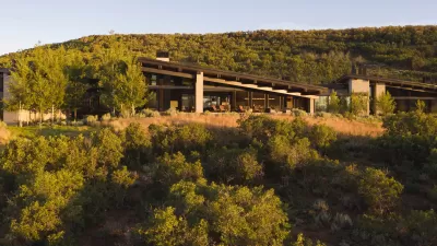
Winners of the 2022 American Society of Landscape Architects
The Society’s annual awards highlight projects focused on reconnecting communities to the landscape and creating healthy community spaces.
ASLA Commits to Profession-Wide Climate Action
The American Society of Landscape Architects has assembled a task force to create an action plan focused on climate change and biodiversity.
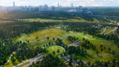
ASLA 2021 Professional Awards Announced
The ASLA's 2021Professional Awards offer eye candy and design inspiration in equal measure—reflecting a profession continuing to increase its role in advancing social issues in the built and natural environments.

Maui's Vacation Rental Debate Turns Ugly
Verbal attacks, misinformation campaigns and fistfights plague a high-stakes debate to convert thousands of vacation rentals into long-term housing.

Planetizen Federal Action Tracker
A weekly monitor of how Trump’s orders and actions are impacting planners and planning in America.

In Urban Planning, AI Prompting Could be the New Design Thinking
Creativity has long been key to great urban design. What if we see AI as our new creative partner?

Portland Raises Parking Fees to Pay for Street Maintenance
The city is struggling to bridge a massive budget gap at the Bureau of Transportation, which largely depleted its reserves during the Civd-19 pandemic.

Spokane Mayor Introduces Housing Reforms Package
Mayor Lisa Brown’s proposals include deferring or waiving some development fees to encourage more affordable housing development.

Houston Mayor Kills Another Bike Lane
The mayor rejected a proposed bike lane in the Montrose district in keeping with his pledge to maintain car lanes.
Urban Design for Planners 1: Software Tools
This six-course series explores essential urban design concepts using open source software and equips planners with the tools they need to participate fully in the urban design process.
Planning for Universal Design
Learn the tools for implementing Universal Design in planning regulations.
Gallatin County Department of Planning & Community Development
Heyer Gruel & Associates PA
JM Goldson LLC
City of Camden Redevelopment Agency
City of Astoria
Transportation Research & Education Center (TREC) at Portland State University
Jefferson Parish Government
Camden Redevelopment Agency
City of Claremont