


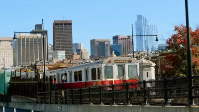
A few days ago, I was trying to take a streetcar in Toronto- and the streetcar was just as congested as any suburban arterial. The lines in front of streetcars were so long that I couldn't get into the first streetcar. Or the second. Or the third. Instead, I had to wait a few minutes (horrors!) for the fourth streetcar. I asked myself: what if streetcars only ran every hour, instead of every few minutes? Would the streetcars be equally crowded? Of course not. People would abandon the streetcars and start to use cars (if they owned them) and buy them (if they did not yet own them).

A few days ago, I was trying to take a streetcar in Toronto- and the
streetcar was just as congested as any suburban arterial. The
lines in front of streetcars were so long that I couldn't get into the
first streetcar. Or the second. Or the third.
Instead, I had to wait a few minutes (horrors!) for the fourth
streetcar.
I asked myself: what if streetcars only ran every
hour, instead of every few minutes? Would the streetcars be
equally crowded? Of course not. People would abandon the
streetcars and start to use cars (if they owned them) and buy them (if
they did not yet own them).
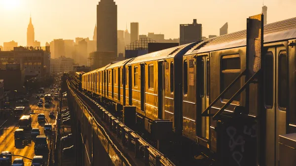
In my experience, there is an inverse
correlation between the amount of public transit service and the amount
of overcrowding on trains or buses: in places with extensive
service, overcrowding is a problem- but in places where public transit
is limited to hourly bus service (e.g. Jacksonville, Florida) buses
tend to be delightfully uncrowded, and usually I can not only sit in a
seat but put my bags on the seat next to me. In three years in
Jacksonville, I do not think I ever had to stand on a bus.
This methodology should tell us something
about how and when we build roads. If (as I have suggested) reduced transit service
means less congestion on transit, why should roads be any different?

Massachusetts Budget Helps Close MBTA Budget Gap
The budget signed by Gov. Maura Healey includes $470 million in MBTA funding for the next fiscal year.
Aging NYC Subway Cars No Match for Extreme Heat
The MTA receives thousands of complaints about broken air conditioning on subway cars each summer.
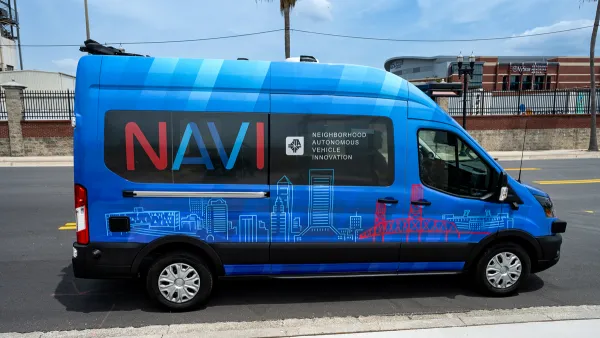
Jacksonville Launches First Autonomous Transit Shuttle in US
A fleet of 14 fully autonomous vehicles will serve a 3.5-mile downtown Jacksonville route with 12 stops.

Maui's Vacation Rental Debate Turns Ugly
Verbal attacks, misinformation campaigns and fistfights plague a high-stakes debate to convert thousands of vacation rentals into long-term housing.

Planetizen Federal Action Tracker
A weekly monitor of how Trump’s orders and actions are impacting planners and planning in America.

In Urban Planning, AI Prompting Could be the New Design Thinking
Creativity has long been key to great urban design. What if we see AI as our new creative partner?

King County Supportive Housing Program Offers Hope for Unhoused Residents
The county is taking a ‘Housing First’ approach that prioritizes getting people into housing, then offering wraparound supportive services.

Researchers Use AI to Get Clearer Picture of US Housing
Analysts are using artificial intelligence to supercharge their research by allowing them to comb through data faster. Though these AI tools can be error prone, they save time and housing researchers are optimistic about the future.

Making Shared Micromobility More Inclusive
Cities and shared mobility system operators can do more to include people with disabilities in planning and operations, per a new report.
Urban Design for Planners 1: Software Tools
This six-course series explores essential urban design concepts using open source software and equips planners with the tools they need to participate fully in the urban design process.
Planning for Universal Design
Learn the tools for implementing Universal Design in planning regulations.
planning NEXT
Appalachian Highlands Housing Partners
Mpact (founded as Rail~Volution)
City of Camden Redevelopment Agency
City of Astoria
City of Portland
City of Laramie