Reporter Ben Adler travels to Leesburg, VA without a car and reports on the difficulties he experiences getting around. In comparison, Ben walks with ease around Kentlands, a New Urbanist development in Maryland.


"In October, I did the unthinkable and went to stay in Leesburg, where my grandmother lives, without a car. After taking the commuter bus to Leesburg from Washington, D.C., I arrived in a massive gravel parking lot. Everyone jumped into a car and drove home, except for one or two bicyclists and a few people waiting to be picked up. For the car-less, these commuter buses are the only way into or out of Leesburg, save for one "reverse commuter" bus that goes to the nearest Metro station, roughly 40 minutes away. No trains stop here, no Greyhound station is in sight, and no buses come on the weekends. A cab to the Metro costs at least $60. Walking? Forget about it. The sidewalks are narrow and poorly lit, and cars whiz by without a buffer lane of parked cars to slow them down. It's enough to make pedestrians feel downright unsafe.
Even as Leesburg notionally committed to a more responsible land-use pattern in its 2005 town plan, it continues to zone undeveloped land at low densities. The standard in Leesburg is four units to the acre, although it is sometimes lower -- in contrast with a typical city block, which would have approximately 25 buildings per acre and possibly far more units if they were subdivided into apartments. Yet Leesburg actively discourages developers from building more sensibly. That is because the Town Council fears that dense plans will bring costly infrastructure needs, such as sewers, and that great suburban boogeyman, traffic. In 2007, one developer bought the right to build a mix of town homes and detached houses on an undeveloped property by paying to expand the arterial road that will serve it from two lanes to four. So to build denser in Leesburg, you need to give the town exactly more of what it does not need: wider roads."
Read the full story: A Tale of Two Exurbs
How the Built Environment Impacts Public Health
New research sheds light on how the brain responds to urban environments and architecture.

Anatomy of a NIMBYcide in Santa Monica
A look at how the previous approval of the Hines Bergamont Transit Village project was rescinded after pressure from community activists, by real estate developer and consultant Michael Russell.
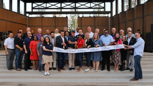
Dallas suburbs are turning their downtowns into small towns
Four Texas towns are embracing walkability and density in their downtowns.

Planetizen Federal Action Tracker
A weekly monitor of how Trump’s orders and actions are impacting planners and planning in America.

California plans to bury El Niño’s downpour
If the state plays its cards right, it may be able to store a billion acre-feet of El Niño’s water in aquifers.

Desperate measures: Advocates weigh draining Lake Powell to fill Colorado River
Draining the reservoir could reduce evaporation losses by a couple hundred thousand acre-feet.

In Texas, data centers are swallowing promised parkland
Residents who moved to Taylor, Texas for a rural community now have to contend with three data centers in their backyard.

How a Chicago-sized wind farm beat the odds and powered on
The project spanned five presidential administrations and a standoff with a U.S. military base.

MTA gives itself 30 days to transform pit into basketball court
The site has been under construction since 2022; the city originally estimated it would finish the court in 2024.

FREE Course: Walkable City 1: Why Walkability?
After describing his path towards focusing on walkability as the essence of good planning, Jeff Speck marches through his five principal reasons for making more walkable places.
Reinventing Malls: Planning Alchemy—Turning Gray Fields Into Gold
The course focuses on the opportunities and imperatives that shape reinvention of mall sites.

City of Rosemead
Rutgers University, Edward J. Bloustein School of Planning and Public Policy
One Hundred Miles
Hunter College, City University of New York (CUNY)
The Architects Foundation
University of Cincinnati Online
City of Cambridge
Montrose County
The Pocatello Development Authority