UNESCO has released a detailed map of the world's aquifers, a move the organization hopes will enable more intelligent use of natural resources.


"They are one of the world's greatest and most precious natural resources, yet are entirely hidden. Now, for the first time, a high-resolution map shows where underground aquifers store vast amounts of water."
"The map of "blue gold" is the result of nearly a decade of sometimes difficult talks between neighbouring governments, mediated by UNESCO. The hope is that it will help pave the way to an international law to govern how water is shared around the world."
"Aquifers are underground layers of rocks or sediments from which water can be extracted – normally by drilling boreholes or digging wells. They hold 100 times the volume of freshwater that flows down rivers and streams around the world at any time."
Thanks to BLDGBLOG
Read the full story: Atlas of hidden water may avert future conflict
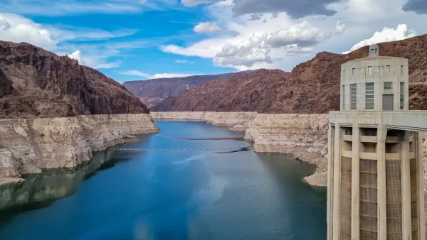
Shrinking Colorado River Aquifers Make up 65% of the Basin’s Water Loss
Satellite data reveals that the Colorado River’s groundwater has decreased dramatically since the start of the century.
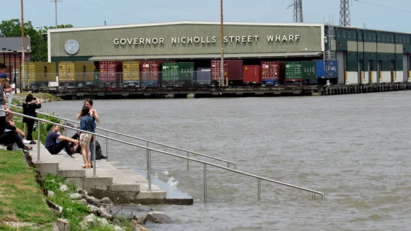
Monday Map: Water Infrastructure in New Orleans
The Sewerage & Water Board of New Orleans has launched its first public dashboards to track its operations and initiatives.
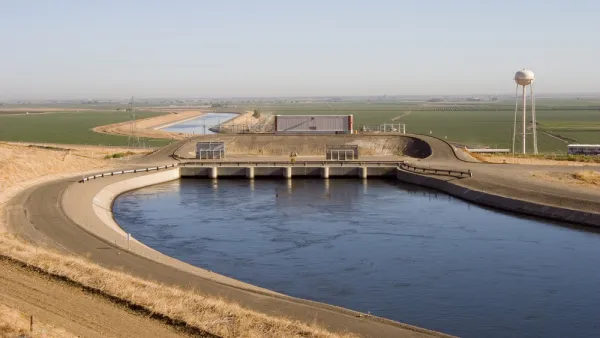
California Groundwater Difficult to Replenish
After a wet winter, California's historic drought is over for now. But larger stores of groundwater stored in natural aquifers, steadily depleting, will be difficult to refill.

Planetizen Federal Action Tracker
A weekly monitor of how Trump’s orders and actions are impacting planners and planning in America.

Eastern Nebraska is running out of electricity
Data centers and electrification are straining eastern Nebraska’s grid, throttling economic development.

Move over, LA: St. Louis gears up for Olympics, invests millions in downtown redevelopment
The Missouri city will host the 2028 Olympic soccer group stage and knockout matches.

Dallas releases zoning code overhaul to officials
The drafted overhaul is over 400 pages long.

NYC renovations for dangerous, ‘mercilessly crammed’ street delayed until 2027
Construction was supposed to begin this fall.

San Diego’s Midway Rising project gets greenlight from city council
The project looks to become the largest affordable housing development in California's history.

FREE Course: Walkable City 1: Why Walkability?
After describing his path towards focusing on walkability as the essence of good planning, Jeff Speck marches through his five principal reasons for making more walkable places.
Reinventing Malls: Planning Alchemy—Turning Gray Fields Into Gold
The course focuses on the opportunities and imperatives that shape reinvention of mall sites.

City of Rosemead
Rutgers University, Edward J. Bloustein School of Planning and Public Policy
One Hundred Miles
University of Michigan School for Environment and Sustainability (SEAS)
Hunter College, City University of New York (CUNY)
The Architects Foundation
City of Cambridge
The Pocatello Development Authority
The Urban Renewal Agency of the City of Pocatello