Well planned urban landscapes can do more than beautify a city, they can provide ecological stability and protect urban areas from threats.


In the October issue of Urban Land, Charles Reith writes rebuilding New Orleans with a more protective urban landscape, and provides some best practices for the management of urban ecosystems.
"As the world becomes more populous, urban, and warmer, we must expect more from our cityscapes. Virtually every urban environment, no matter how densely populated, may be optimized relative to the ecological services provided." Reith stresses the importance of sentinel trees, deep organic mulches, and water-wise morphology and technologies.
"But the most important ingredient, that which is provided by the designer, is integration. ...For instance we've spoken of the way swales guide water, promote infiltration, and encourage deep rooting. The placement of fast-growing and sentinel trees relative to swales will enhance their wind tolerance. The placement of trees in turn should protect against solar heating, north-wind chill, and gale-force damage. And then back to the swales which must be keyed to downspouts and impervious surfaces. Such is the delightful circularity of thought that is design."
"Landscape architects can no longer design without striving for the broadest possible functionality, synergistically addressing such objectives as stormworthiness, water-use efficiency, wildlife accommodation, and more. Neither can they just design solely for conditions of climatic or geologic tranquility. The challenge is to design urban landscapes that beautify, perform, improve, and endure.
This article originally appeared in the October, 2006 Issue of Urban Land Magazine, and is typically available only to ULI members. Thanks to the author and with the permission of the Urban Land Institute, the full-text of the article is now also available to Planetizen readers.
Thanks to Mary Vogel
Read the full story: A More Protective Urban Landscape [Adobe PDF, 150 KB]


Planetizen Federal Action Tracker
A weekly monitor of how Trump’s orders and actions are impacting planners and planning in America.
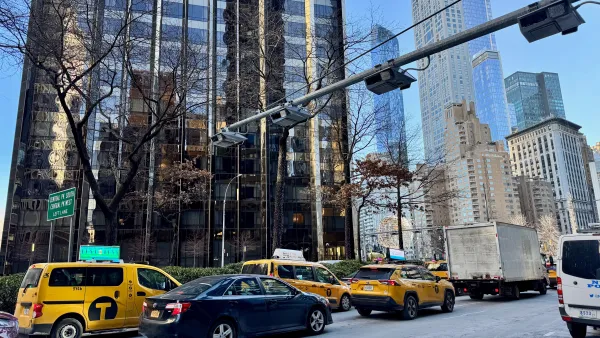
Data reveals that NYC’s bet on congestion pricing has paid off
After almost two years of the program, reports show positive impacts on traffic and air quality and no disruptions to parking.
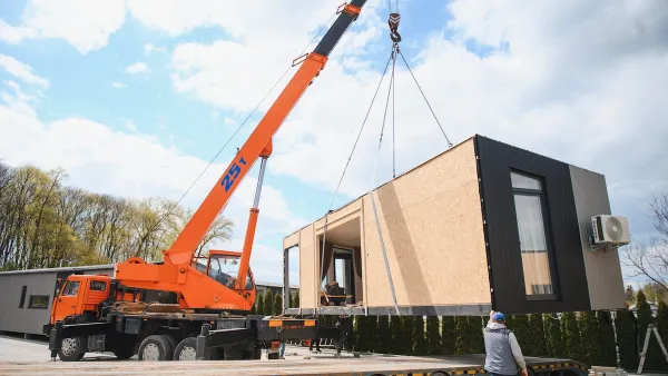
HUD modernizes 50-year-old manufactured housing framework
The Next Generation Manufactured Housing Action Plan establishes new energy-efficiency standards for manufactured homes, and new guidelines for anchoring them.

Florida could lose billions in funding for infrastructure, parks
If Amendment 3 passes, Miami-Dade would lose about $445 million annually by fiscal year 2028-29.

New Mexico spent millions drafting climate goals. Data centers are unraveling them
Three data centers in New Mexico and El Paso will release more emissions yearly than 2 million cars in the same timeframe.

This Ohio town is using AI to speed up transit analysis
The Greater Dayton Regional Transit Authority’s new AI tool correctly determined riders’ preferred ways to reach key commuter routes.

FREE Course: Walkable City 1: Why Walkability?
After describing his path towards focusing on walkability as the essence of good planning, Jeff Speck marches through his five principal reasons for making more walkable places.
Reinventing Malls: Planning Alchemy—Turning Gray Fields Into Gold
The course focuses on the opportunities and imperatives that shape reinvention of mall sites.

One Hundred Miles
County of Mendocino
planning NEXT
The Architects Foundation
University of Cincinnati Online
Montrose County
Northern Illinois Transit Authority (NITA)
The Pocatello Development Authority