The joint effort with the U.S. Army Corps of Engineers outlines multiple strategies for protecting the city's most vulnerable neighborhoods from sea level rise.


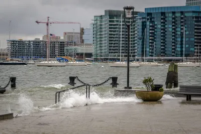
The city of Boston and the U.S. Army Corps of Engineers released a draft plan designed to protect the city's most flood-prone areas and prepare to manage the risks of sea level rise.
According to an article by Jordan Wolman in CommonWealth Beacon, "The draft plan is set to act as a roadmap for how New England’s largest city, one-sixth of which is built on filled tidelands, can navigate the more than four feet of sea level rise the Army Corps projects will hit Boston by 2090 as the world continues to warm."
The plan would cost an estimated $10 billion and would build new floodwalls, levees and floodgates in vulnerable areas. The city could fund up to 65% of the Army Corps' recommendations with federal funds.
Without action, the city could face losses of roughly $54 billion by the end of the century. "Key regional assets like Logan Airport, hospitals, I-93, I-90, and rail stations remain highly vulnerable. Neighborhoods more than a mile from the ocean could experience severe flooding in the next 25 years."
Read the full story: Wu, feds unveil plan to tackle sea level rise in Boston


Battery Park Resilience Project Breaks Ground
By 2027, the shoreline will be elevated by 5 feet to prevent flooding from future storm surges.
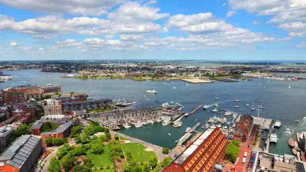
Study To Assess Climate Mitigation Options for East Boston
A grant-funded research team will evaluate solutions for shoring up the area’s flood protection strategies and improving access and service on the Blue Line for local residents.
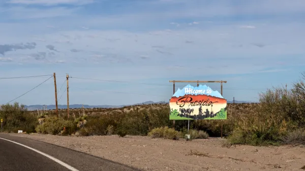
Texas town says border wall could compromise flood prevention infrastructure
Presidio is suing the Trump administration, saying its plan to replace a levee with a concrete wall could put the town at risk of catastrophic floods.

Planetizen Federal Action Tracker
A weekly monitor of how Trump’s orders and actions are impacting planners and planning in America.

Chicago breaks ground on $3 billion megadevelopment
The new neighborhood, titled Foundry Park, will one day host 3,700 residences.
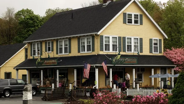
This MA town is drowning in its own sewage — and residents like it that way
Susan Murcott, a waste water expert, said if Carlisle didn't address their leaking sewage, the problem could turn “deadly.”

Home batteries are ushering in an energy revolution
Batteries capable of storing solar energy can stabilize the grid during peaks and keep homes running on cloudy days.

A sneak peek at NYC’s Midtown Bus Terminal rebuild
The city will turn a deck used for storage during the construction process into a park once construction is complete.

Air taxis to connect Texas airports to business hubs
Archer Aviation says its taxis will turn 90 minute drives into 20 minute flights.

FREE Course: Walkable City 1: Why Walkability?
After describing his path towards focusing on walkability as the essence of good planning, Jeff Speck marches through his five principal reasons for making more walkable places.
Reinventing Malls: Planning Alchemy—Turning Gray Fields Into Gold
The course focuses on the opportunities and imperatives that shape reinvention of mall sites.

City of Rosemead
Rutgers University, Edward J. Bloustein School of Planning and Public Policy
One Hundred Miles
The Architects Foundation
University of Cincinnati Online
Montrose County
Northern Illinois Transit Authority (NITA)
The Pocatello Development Authority