The tool can help cities quickly identify high-risk intersections and corridors and make an evidence-based case for safety interventions.



A new tool from Cambridge Mobile Telematics combines cell phone data with crash data to identify likely hot spots for crashes based on phone use and the likelihood of driver distraction.
As Kea Wilson explains in Streetsblog USA, "In the last six months, departments of transportation in New Mexico, Massachusetts, Ohio, Texas, and others have begun relying on StreetVision to help decide where they should install things like roundabouts and speed cameras, confirm whether those strategies work, and build the case for more of them."
StreetVision uses anonymized cell phone data volunteered by roughly 55 million U.S. drivers to identify trends like distraction, hard-braking, and speeding. "Actuaries say all those behaviors are highly predictive of future collisions, particularly when they happen again and again at the same sites." Now, StreetVision lets cities understand these hot spots practically in real time and make interventions before more crashes happen. The tool lets governments analyze data within weeks, without waiting for expensive, formal traffic studies — letting them make their case and take action on safety improvements faster.
FULL STORY: Can This Tool Predict Where Your City’s Next Car Crash Will Happen?

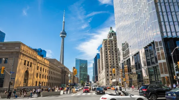
What US States Can Learn from Canadian Road Rules
Our northern neighbor has managed to slash traffic deaths as U.S. traffic fatalities remain high. What do they do differently?
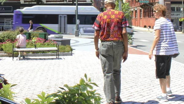
Vehicle-related Deaths Drop 29% in Richmond, VA
The seventh year of the city's Vision Zero strategy also cut the number of people killed in alcohol-related crashes by half.
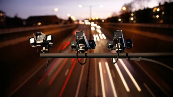
States Have Mixed Feelings on Speed Cameras
While some states and cities are embracing automated traffic enforcement as a tool for improving road safety, others are banning the technology over concerns that the programs are designed for profit rather than public benefit.

The state-sanctioned urbicide of Austin
People don’t kill cities. Freeways do.

US to reduce Colorado River water deliveries to Mexico
A new Colorado Treaty amendment reduces Mexico’s Colorado River water allocation by 250,000 acre feet.

New Jersey’s second-largest city bans standalone data centers
Jersey City will continue to allow co-location facilities, such as those meant for research institutions that store their own data.

Amtrak not solely to blame for New Jersey commuter rail's unreliability, report finds
A new study from the Garden State Initiative found that NJ Transit’s budget grew 20% across a 4 year period, but reliability declined significantly over the same period.

EPA erases limits on planet-warming pollution from power plants
Under Monday’s plan, power plants would still have some limits on how much mercury, arsenic and other contaminants they can emit.

Phoenix announces new on-demand transit service, more frequent RAPID buses
Both new services will launch in October, and are part of Phoenix's Project Effective Access Solutions for Easing Congestion.

FREE Course: Walkable City 1: Why Walkability?
After describing his path towards focusing on walkability as the essence of good planning, Jeff Speck marches through his five principal reasons for making more walkable places.
Reinventing Malls: Planning Alchemy—Turning Gray Fields Into Gold
The course focuses on the opportunities and imperatives that shape reinvention of mall sites.

Eagle County Government
Harvard University Graduate School of Design
Nashville Planning Department
The Architects Foundation
University of Cincinnati Online
The Pocatello Development Authority
The Urban Renewal Agency of the City of Pocatello
Journal of the American Planning Association