The cars use their onboard technology to identify potholes and send the data to city officials and Waze users.


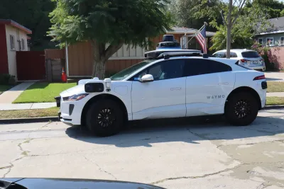
Waymo is using its robotaxis to identify potholes, reports Kirsten Korosec in TechCrunch. The company is testing the service in five markets it operates in, sending the data to both cities and Waze, another Alphabet-owned company, where users can see it directly in the app.
According to Korosec, "Offering potentially beneficial data about potholes, or even other hazardous road conditions, could help build goodwill. And right now Waymo is largely bearing the brunt of this burden as it ramps up its expansion to more than 20 cities this year."
Read the full story: Waymo robotaxis are tracking potholes and sharing that data with Waze users

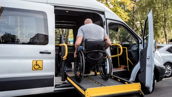
DC's robotaxi bill stays silent on accessibility
A 24-page bill addresses safety, permitting and consumer rights — but fails to mention wheelchairs or accessible vehicles.
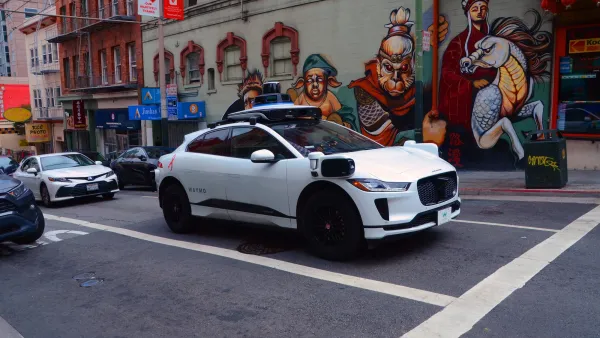
Feds say robotaxis interfering with first responders is a 'functional insufficiency,' demand solutions by August
The NHTSA issued a letter to autonomous carmakers, noting that 'Every second matters when law enforcement officers, firefighters, or paramedics are answering a call.'
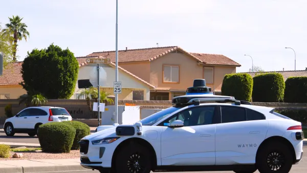
Uber and Waymo part ways in Phoenix
The companies ended a three-year pilot program, with Waymo saying it plans to keep its Phoenix robotaxi fleet available through its own app.

Planetizen Federal Action Tracker
A weekly monitor of how Trump’s orders and actions are impacting planners and planning in America.

California plans to bury El Niño’s downpour
If the state plays its cards right, it may be able to store a billion acre-feet of El Niño’s water in aquifers.

Desperate measures: Advocates weigh draining Lake Powell to fill Colorado River
Draining the reservoir could reduce evaporation losses by a couple hundred thousand acre-feet.

California city breaks ground on transit connector
The project includes three mobility hubs and a pedestrian bridge.

After public outcry, Massachusetts city releases housing development tracker
Cambridge’s tracker currently shows 250 housing projects in various stages of development.

40 years after approval, Chicago breaks ground on new park
The park honors Jean Baptiste Point du Sable, the city’s first permanent non-native settler.

FREE Course: Walkable City 1: Why Walkability?
After describing his path towards focusing on walkability as the essence of good planning, Jeff Speck marches through his five principal reasons for making more walkable places.
Reinventing Malls: Planning Alchemy—Turning Gray Fields Into Gold
The course focuses on the opportunities and imperatives that shape reinvention of mall sites.

City of Rosemead
Rutgers University, Edward J. Bloustein School of Planning and Public Policy
One Hundred Miles
Hunter College, City University of New York (CUNY)
The Architects Foundation
University of Cincinnati Online
City of Cambridge
Montrose County
The Pocatello Development Authority