A new digital platform is aimed at helping agencies better understand the city’s underground assets and more effectively plan projects.


New York City is launching a $10 million 3D digital platform that will map the city’s subterranean infrastructure to better help agencies and utilities work together.
According to an article in Smart Cities World, “3DUnderground (3DU) will help government agencies and utility companies securely share and access information about what lies below New Yorkers’ feet, such as water and sewer pipes, gas lines, electrical conduits, fiber optic cables, and soil composition.”
City officials say the platform will enhance the city’s ability to respond to emergencies, identify and assess threats, and more effectively plan projects. “The New York City Office of Technology and Innovation will create a comprehensive map of the city’s soil by digitising geotechnical reports already submitted to the New York City Department of Buildings and partnering with Columbia University to estimate what the soil is like in areas without direct data.”
The project is funded by a U.S. Housing and Urban Development Community Development Block Grant for Disaster Recovery and is expected to launch in early 2028.
FULL STORY: New York City launches $10m 3D underground data platform

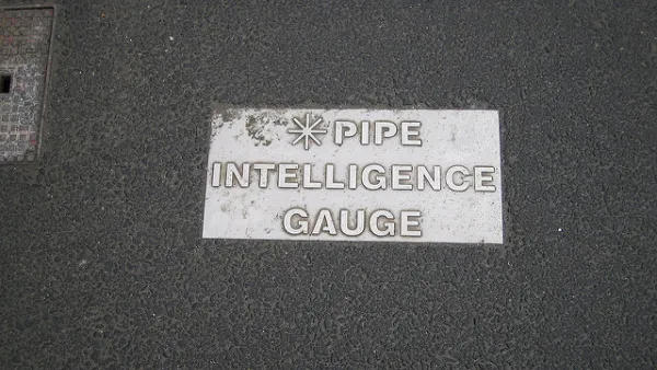
It's Time to Map and Share Data on Underground Infrastructure
A call for cities like New York to accurately map, model, and share information on underground water and utility infrastructure for public benefit.

Mamdani overhauls NYC's Vision Zero plan with 100 new policy goals
The overhaul aims to reduce traffic deaths and make streets safer for pedestrians, cyclists and drivers through lower speed limits, new safety infrastructure and more.
MTA to purchase biggest fleet upgrade in over a decade
The new buses will use a greener alternative to diesel fuel, and aim to improve fleet reliability and air quality.

Planetizen Federal Action Tracker
A weekly monitor of how Trump’s orders and actions are impacting planners and planning in America.

The state-sanctioned urbicide of Austin
People don’t kill cities. Freeways do.

US to reduce Colorado River water deliveries to Mexico
A new Colorado Treaty amendment reduces Mexico’s Colorado River water allocation by 250,000 acre feet.

5 New England states march closer to 800 megawatt wind energy project
Securing federal approval for the project may be complicated under the Trump administration, which has historically been hostile towards domestic wind power.

Baltimore to break ground on $50 million Transit Priority Project
The project will bring faster bus trips, safer streets and better bike connections to Baltimore.

Airbnb launches $250 million 'last-dollar financing' housing accelerator, makes first investment in Austin
The company will put $6.4 million towards affordable housing development in Texas’ capital.

FREE Course: Walkable City 1: Why Walkability?
After describing his path towards focusing on walkability as the essence of good planning, Jeff Speck marches through his five principal reasons for making more walkable places.
Reinventing Malls: Planning Alchemy—Turning Gray Fields Into Gold
The course focuses on the opportunities and imperatives that shape reinvention of mall sites.

Eagle County Government
Harvard University Graduate School of Design
Nashville Planning Department
The Architects Foundation
University of Cincinnati Online
The Pocatello Development Authority
The Urban Renewal Agency of the City of Pocatello
Journal of the American Planning Association