The BLM’s proposed maps could open up as much as 55 million acres to solar installations.


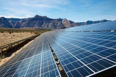
A debate over where to place solar installations on public lands is building in the West, writes Erin X. Wong in High Country News. In January, the Bureau of Land Management released a draft Western Solar Plan that offers five alternative maps for solar placement.
“The plan is focused on utility-scale solar projects that sell energy to utility companies that power cities and towns,” Wong explains. The plan estimates the West will produce 174.2 GW of power via solar installations, with up to 75 percent of arrays on BLM land.
Wong describes three of the plan’s proposed alternatives, which would allow solar development on anywhere between 11 million acres and 55 million acres, offering different levels of protection for cultural and ecological resources.
One alternative would open all land that doesn’t include protected resources, another would only open regions within a 10-mile radius of transmission lines, while a third would only make previously disturbed land available. “Ultimately, about 1 million acres of BLM land in the West will need to be developed to meet the nation’s clean energy goals, according to the draft analysis.” BLM says it will likely finalize the plan by the end of this year.
Read the full story: The great solar build-out


BLM Allocates Funding to Study Renewables Impact on Public Lands
The large-scale study will assess how proposed solar farms and other renewable energy projects could impact animals, plants, and habitats.

Colorado oil and gas land lease on public land could imperil nation's largest elk herd
The federal government approved the largest land lease to oil and gas interests in Colorado history.
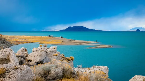
Nevada and Utah Groups Oppose Public Land Sell-Off Plan
A set of last-minute amendments to the budget reconciliation bill open up over half a million acres of federally managed land to sales.

Planetizen Federal Action Tracker
A weekly monitor of how Trump’s orders and actions are impacting planners and planning in America.

The state-sanctioned urbicide of Austin
People don’t kill cities. Freeways do.

US to reduce Colorado River water deliveries to Mexico
A new Colorado Treaty amendment reduces Mexico’s Colorado River water allocation by 250,000 acre feet.

Nation's most wind-powered state turns to coal as data centers increase energy demand
For the first time in decades, Iowa has increased its generation of coal power.

NYC cools commuters with city's first rain garden above a bus stop
New York City officials say the plants in the rain garden can absorb 16 gallons of rainwater during heavy storms.

Brightline West’s future may rely on $6 billion federal loan
The company has until Nov. 2 to make a $400 million equity investment into its proposed high-speed rail line.

FREE Course: Walkable City 1: Why Walkability?
After describing his path towards focusing on walkability as the essence of good planning, Jeff Speck marches through his five principal reasons for making more walkable places.
Reinventing Malls: Planning Alchemy—Turning Gray Fields Into Gold
The course focuses on the opportunities and imperatives that shape reinvention of mall sites.

Greater Baltimore Committee
Eagle County Government
Harvard University Graduate School of Design
The Architects Foundation
University of Cincinnati Online
The Pocatello Development Authority
The Urban Renewal Agency of the City of Pocatello
Journal of the American Planning Association