The city plans to create a TOD overlay district to encourage density and affordable housing near transit.


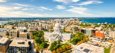
A press release from the City of Madison announces an effort to create a “Transit-Oriented Development overlay zoning district” that would support denser development near transit hubs and help the city reduce vehicle miles driven. “As recommended by the 2018 Comprehensive Plan, this ‘TOD overlay’ would potentially create development intensity minimums, reduce parking requirements, and support transit use, among other possible tweaks to underlying zoning regulations.”
According to District 2 Alder and Plan Commissioner Patrick Heck, “Paired with the City’s use of our Affordable Housing Fund to support projects close to transit, the TOD changes will not only make it easier to build housing, but easier to build affordable and workforce housing with transit-supported access to jobs.”
District 15 Alder and Transportation and Policy Planning Board member Grant Foster said the goal is to accommodate regional growth while boosting housing affordability, “without the devastating impacts of increasing traffic.”
Read the full story: City Creating Transit-Oriented Development Zoning
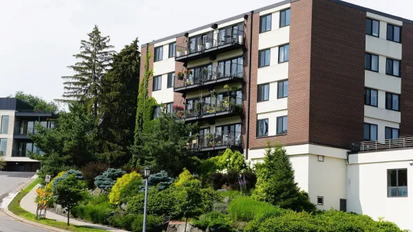
How policy changes helped Minneapolis beat rent inflation
Despite a boom in population, Minneapolis has managed to keep rents relatively steady through a combination of legislative action and private investment.
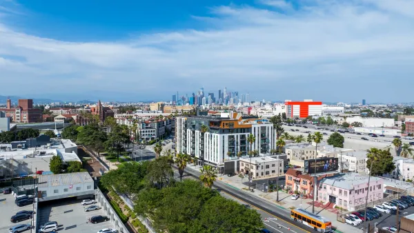
LA delays state housing mandate with 'low-rise ordinance'
The new ordinance allows the city to delay implementing SB 79, a state law requiring more density near transit.
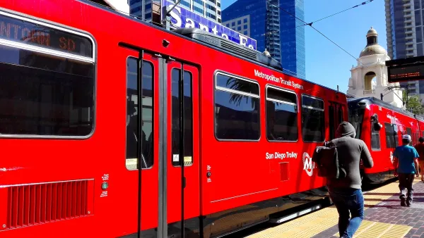
San Diego wants to limit upzoning law to just 16% of transit-adjacent parcels
The city's planning director says some areas are unfit for immediate upzoning due to a lack of resources or hazards such as wildfire risk.

Planetizen Federal Action Tracker
A weekly monitor of how Trump’s orders and actions are impacting planners and planning in America.

Eastern Nebraska is running out of electricity
Data centers and electrification are straining eastern Nebraska’s grid, throttling economic development.

Study reveals best places in the U.S. for cycling, walking
New research from Streetlight Data examines bicycle and pedestrian miles per capita in the 100 largest U.S. cities by population.

All sides of BRT debate unhappy with CDOT’s most recent move
The Colorado Department of Transportation is no longer considering center-running bus lanes for Colorado Boulevard.

Massachusetts bogs generate both power, and cranberries
Putting solar panels above farmland is one way Massachusetts is advancing toward its goal of net-zero carbon emissions by 2050.

What could the future of LA transit look like under Raman?
The mayor-elect views broken sidewalks and potholes as crises that can be fixed with better governance.

FREE Course: Walkable City 1: Why Walkability?
After describing his path towards focusing on walkability as the essence of good planning, Jeff Speck marches through his five principal reasons for making more walkable places.
Reinventing Malls: Planning Alchemy—Turning Gray Fields Into Gold
The course focuses on the opportunities and imperatives that shape reinvention of mall sites.

City of Rosemead
Rutgers University, Edward J. Bloustein School of Planning and Public Policy
One Hundred Miles
University of Michigan School for Environment and Sustainability (SEAS)
Hunter College, City University of New York (CUNY)
The Architects Foundation
City of Cambridge
The Pocatello Development Authority
The Urban Renewal Agency of the City of Pocatello