A new map of Virginia illustrates the stark contrasts in pollution burdens depending on location.


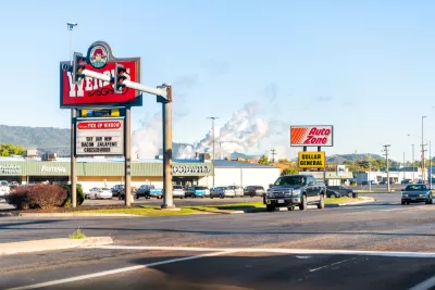
A new interactive map of Virginia identifies hotspots of environmental justice failures—where residents face disproportionate public health socioeconomic effects as the result of pollution.
An article by Sarah Vogelsong provides additional insight into the findings of the Mapping for Environmental Justice initiative, which worked with the Virginia Environmental Justice Collaborative and funding from the Earth Island Institute. According to Vogelsong, "the Virginia map assigns a 'cumulative environmental justice impact' score to each census tract in the commonwealth. The higher the score, the greater the tract’s overall environmental impacts and vulnerabilities are considered to be."
According to the initiative's website, parts of Virginia facing disproportionate environmental burdens are "nearly five times more likely to be exposed to air pollution from traffic and are 3.6 times more likely to live near a Superfund site" [emphasis from the original].
"Pollution burden includes data on ozone, particulate matter, lead paint, air toxics, traffic, mines, hazardous waste and high-risk chemical facilities and federal cleanup sites," explains Vogelsong.
FULL STORY: New mapping tool aims to clarify Virginia environmental justice debates


Bioremediation for Environmental Justice
Bioremediation uses plants, fungi, and microbes to clean up polluted land in place, offering a nature-based option for restoring contaminated sites in overburdened communities.
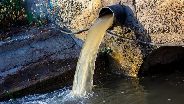
Alabama: Trump Terminates Settlements for Black Communities Harmed By Raw Sewage
Trump deemed the landmark civil rights agreement “illegal DEI and environmental justice policy.”
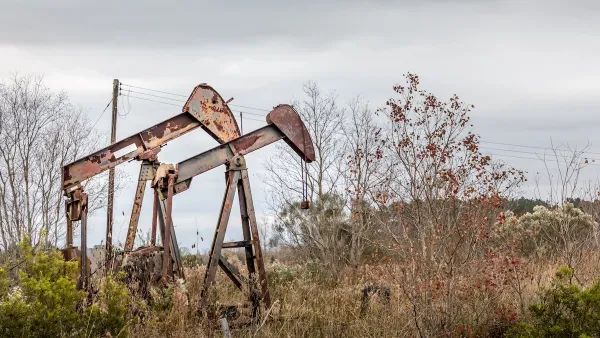
Addressing Orphan Wells for Environmental Justice
Remediating and repurposing some orphan oil and gas wells into parks can turn environmental hazards into community assets, promoting health, environmental justice, and accessible green space for underserved areas.

Planetizen Federal Action Tracker
A weekly monitor of how Trump’s orders and actions are impacting planners and planning in America.

The state-sanctioned urbicide of Austin
People don’t kill cities. Freeways do.

US to reduce Colorado River water deliveries to Mexico
A new Colorado Treaty amendment reduces Mexico’s Colorado River water allocation by 250,000 acre feet.

Mamdani overhauls NYC's Vision Zero plan with 100 new policy goals
The overhaul aims to reduce traffic deaths and make streets safer for pedestrians, cyclists and drivers through lower speed limits, new safety infrastructure and more.

Amtrak not solely to blame for New Jersey commuter rail's unreliability, report finds
A new study from the Garden State Initiative found that NJ Transit’s budget grew 20% across a 4 year period, but reliability declined significantly over the same period.

EPA erases limits on planet-warming pollution from power plants
Under Monday’s plan, power plants would still have some limits on how much mercury, arsenic and other contaminants they can emit.

FREE Course: Walkable City 1: Why Walkability?
After describing his path towards focusing on walkability as the essence of good planning, Jeff Speck marches through his five principal reasons for making more walkable places.
Reinventing Malls: Planning Alchemy—Turning Gray Fields Into Gold
The course focuses on the opportunities and imperatives that shape reinvention of mall sites.

Eagle County Government
Harvard University Graduate School of Design
Nashville Planning Department
The Architects Foundation
University of Cincinnati Online
The Pocatello Development Authority
The Urban Renewal Agency of the City of Pocatello
Journal of the American Planning Association