In case you've ever felt like Google Maps isn't as helpful on foot as it is in a car, there's a new technology just for you.



David Nield shares a preview of Google's new Visual Position System (VPS), which uses a variety of augmented reality to help guide pedestrians around the city:
The perfect scenario for Google’s new Visual Position System, or VPS, is one you’ve probably been in already: Emerging from a subway station in a strange city. You’ve got your route planned out on your phone, but you don’t know which way is which, or the names of the roads—if you set off in the wrong direction initially, you can lose a lot of time retracing your steps.
And:
It’s designed to overcome the limitations of GPS in heavily built-up areas and remove confusion when you’re following walking directions. It’s not publicly available yet, but we’ve been able to try it, and here’s what’s coming.
Like any good navigator, the VPS locates the user by using clues from surrounding landmarks, The result is better directions:
VPS pulls its data from the buildings and landmarks around you rather than relying on satellite location alone. By combining VPS with Street View data and some machine learning, Google Maps can work out where you are (and where you should be headed) even if your GPS lock has you placed three blocks north.
Nield provides more explanation and a few helpful images to better illustrate how the technology works.
FULL STORY: I Tried Google Maps' Experimental Walking Directions of the Future

Multi-Modal Directions, Now Available on Google Maps
Under the transit tab on Google Maps, users will now be able to incorporate trips that start on a bike but end on a bus, train, or other mode of transport.
'OK Google, How Crowded is the Number 8 Bus?'
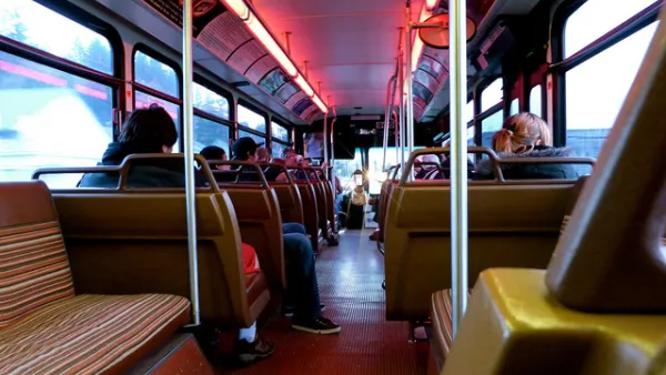
Google Maps will now share data about how crowded buses and trains are likely to be.

Google will fund removal of 2000 acres of trees in Oklahoma to save water while building new data center
The company has invested $30 million into projects intended to address Oklahoma’s water shortage.

The state-sanctioned urbicide of Austin
People don’t kill cities. Freeways do.

US to reduce Colorado River water deliveries to Mexico
A new Colorado Treaty amendment reduces Mexico’s Colorado River water allocation by 250,000 acre feet.

New Jersey’s second-largest city bans standalone data centers
Jersey City will continue to allow co-location facilities, such as those meant for research institutions that store their own data.

Amtrak not solely to blame for New Jersey commuter rail's unreliability, report finds
A new study from the Garden State Initiative found that NJ Transit’s budget grew 20% across a 4 year period, but reliability declined significantly over the same period.

EPA erases limits on planet-warming pollution from power plants
Under Monday’s plan, power plants would still have some limits on how much mercury, arsenic and other contaminants they can emit.

Phoenix announces new on-demand transit service, more frequent RAPID buses
Both new services will launch in October, and are part of Phoenix's Project Effective Access Solutions for Easing Congestion.

FREE Course: Walkable City 1: Why Walkability?
After describing his path towards focusing on walkability as the essence of good planning, Jeff Speck marches through his five principal reasons for making more walkable places.
Reinventing Malls: Planning Alchemy—Turning Gray Fields Into Gold
The course focuses on the opportunities and imperatives that shape reinvention of mall sites.

Eagle County Government
Harvard University Graduate School of Design
Nashville Planning Department
The Architects Foundation
University of Cincinnati Online
The Pocatello Development Authority
The Urban Renewal Agency of the City of Pocatello
Journal of the American Planning Association