Capital Metro in Austin, Texas recently published a set of outstanding resources for planning and designing Transit Oriented Development: a Transit Design Guide, a TOD Priority Tool and a TOD Guide. Way to go, Austin!


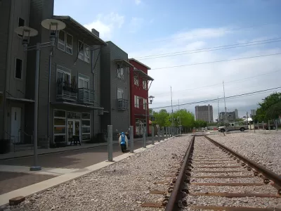
Capital Metro in Austin, recently published a set of outstanding resources for planning and designing Transit Oriented Development (TOD):
- The Transit Design Guide is a best practices manual for designing transit-supportive roadways and facilities to enhance bus and rail service and operations.
- The TOD Priority Tool provides a framework for evaluating development potential around high-capacity stations.
- The TOD Guide is a best practices manual for TOD and placemaking.
What is Transit-Oriented Development?
Transit-oriented development (TOD) is an attractive, walkable, and sustainable development pattern around high-capacity transit that maximizes transit ridership and offers residents ample vibrant housing choices and convenient access to jobs, services and diverse amenities.
The TOD Priority Tool
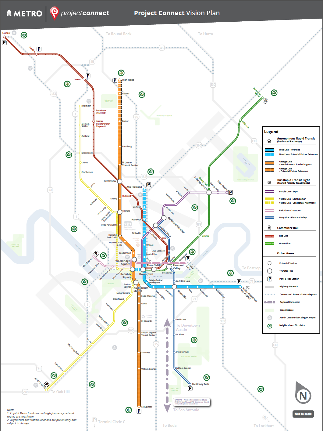
Capital Metro is taking a system-wide approach to encourage TOD along the high-capacity MetroRapid and MetroRail transit corridors and enable transit communities for all residents. The new TOD Priority Tool provides a foundation to guide public and private investment around transit stations through:
- Creating an implementation action plan tool through research and analysis of the existing state of transit oriented development
- Providing on the ground, station-level action items with the intent to foster implementation of TOD at high-capacity transit stations
- Establishing a close interrelationship between land use decisions and transit system efficiencies to improve both.
Station Areas
This TOD Priority Tool is focused on areas within a half-mile radius around high-capacity transit stations on the MetroRapid and MetroRail system.
- About TOD - Learn about the benefits and opportunities of TOD.
- Typology - See station areas organized according to character and readiness.
- Implementation - Find out what's needed to bring TOD to reality.
- Interactive Map - Learn where the opportunities are.
FULL STORY: Transit Design Guides


Austin Transit Agency Backs Down on Electric Bus Pledge
Technology problems, short ranges, and supply chain issues hinder Cap Metro’s ambitious electrification plan.

Austin’s Project Connect Transit Plan Drastically Reduced
The details of drastic reductions to the proposed building program for Austin’s Project Connect long-range transit plan are now open for public comment.
Texas Legislation Would Add More Roadblocks for Transit Funding in Austin
A former Austin city councilmember, now at the Texas State Legislature, is trying to make it harder for Austin Transit Partnership to borrow money to fund Project Connect, the Austin region’s big, ambitious transit investment plan.

Planetizen Federal Action Tracker
A weekly monitor of how Trump’s orders and actions are impacting planners and planning in America.

The state-sanctioned urbicide of Austin
People don’t kill cities. Freeways do.

US to reduce Colorado River water deliveries to Mexico
A new Colorado Treaty amendment reduces Mexico’s Colorado River water allocation by 250,000 acre feet.

LA Metro’s ultimatum: no extra buses for LA28 if federal funding isn’t imminently secured
If Metro does not provide additional buses, LA28 organizers will have to find a new way to manage Olympic traffic. LA28’s budget does not include a line item for transit.

Colorado’s Largest Data Center Could Rise Next to Homes — Without a Public Hearing
The proposed campus would consume 11 times the power of Denver International Airport; as it has across the country, opposition mounts.

5 New England states march closer to 800 megawatt wind energy project
Securing federal approval for the project may be complicated under the Trump administration, which has historically been hostile towards domestic wind power.

FREE Course: Walkable City 1: Why Walkability?
After describing his path towards focusing on walkability as the essence of good planning, Jeff Speck marches through his five principal reasons for making more walkable places.
Reinventing Malls: Planning Alchemy—Turning Gray Fields Into Gold
The course focuses on the opportunities and imperatives that shape reinvention of mall sites.

Eagle County Government
Harvard University Graduate School of Design
Nashville Planning Department
The Architects Foundation
University of Cincinnati Online
The Pocatello Development Authority
The Urban Renewal Agency of the City of Pocatello
Journal of the American Planning Association