The Massachusetts transit agency says its tunnels and power systems are at greatest risk from increasingly unpredictable extreme weather.


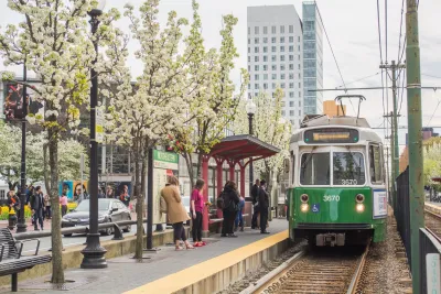
The Massachusetts Bay Transportation Authority unveiled a new plan to protect transportation infrastructure from extreme weather, reports Will Katcher for Mass Live.
The agency's 'Resilience Roadmap' highlights the system's vulnerabilities, which include tunnels that can get too hot, drainage and flooding issues, and potential loss of access to ferry terminals. "The plan calls for the MBTA to invest in its power system, protect tunnels and stations from flooding, reduce heat exposure for riders and employees, upgrade train tracks and facilities to withstand extreme temperatures and improve the system’s signals and communications systems, among other strategies."
According to the plan, the MBTA's tunnels and power systems are at greatest risk from climate change, and would cause the most significant disruptions to service. "Officials identified 30 new strategies to address climate change and extreme weather impacts, three-quarters of which they recommend be implemented in the next five years." These include new doors that defend from flooding, more shade at bus stops, and upgraded pump rooms to remove water in case of flooding.
Read the full story: Extreme weather will threaten the MBTA as climate warms. Here’s the agency’s new plan to fight back

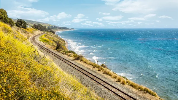
Transit’s Next Challenge: Climate Change
Extreme weather and erosion threaten transit infrastructure around the country.
MBTA extends commuter rail discounts and lowers express bus fare to keep passengers riding into the fall
Boston-area commuters can access half-price monthly passes through November.

MBTA threatens to use eminent domain to pedestrianize Boston streets during World Cup
Boston city hall has been unusually reluctant to align with MassDOT and MBTA's proposed crowd management plans.

Planetizen Federal Action Tracker
A weekly monitor of how Trump’s orders and actions are impacting planners and planning in America.

California plans to bury El Niño’s downpour
If the state plays its cards right, it may be able to store a billion acre-feet of El Niño’s water in aquifers.

Desperate measures: Advocates weigh draining Lake Powell to fill Colorado River
Draining the reservoir could reduce evaporation losses by a couple hundred thousand acre-feet.

California city breaks ground on transit connector
The project includes three mobility hubs and a pedestrian bridge.

After public outcry, Massachusetts city releases housing development tracker
Cambridge’s tracker currently shows 250 housing projects in various stages of development.

40 years after approval, Chicago breaks ground on new park
The park honors Jean Baptiste Point du Sable, the city’s first permanent non-native settler.

FREE Course: Walkable City 1: Why Walkability?
After describing his path towards focusing on walkability as the essence of good planning, Jeff Speck marches through his five principal reasons for making more walkable places.
Reinventing Malls: Planning Alchemy—Turning Gray Fields Into Gold
The course focuses on the opportunities and imperatives that shape reinvention of mall sites.

City of Rosemead
Rutgers University, Edward J. Bloustein School of Planning and Public Policy
One Hundred Miles
Hunter College, City University of New York (CUNY)
The Architects Foundation
University of Cincinnati Online
City of Cambridge
Montrose County
The Pocatello Development Authority