A new tool creates a visual model of potential development on Chicago lots based on the property’s specific zoning regulations.


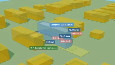
The new 3D Building Visualizer from Chicago Cityscape lets users create 3D models of buildings based on a property’s specific zoning regulations. The tool generates a detailed model that shows height limits, setbacks, and Floor Area Ratio constraints.
According to Steven Vance, “The visualizer uses parcel geometry from Cook County and zoning standards from the Chicago Zoning Ordinance compiled it part by the Second City Zoning project. While the tool provides accurate calculations based on standard zoning rules, it may not account for all special conditions, overlays, or planned developments. It also has not been tested on all edge cases, including corner lots.”
Read the full story: 3D Building Visualizer: see what Chicago’s zoning code allows
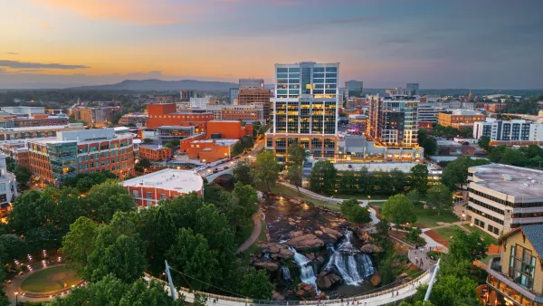
Greenville, SC pushes for missing middle housing
The city recently overhauled its zoning rules to permit more 'low-intensity' housing options.
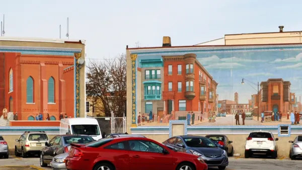
Philadelphia's downtown parking lots are a 'valuable, untapped resource'
Over two dozen city-owned parking lots could be developed into housing or other uses.

Texas Bills Aim to Tackle Housing Affordability
One proposed bill would raise the threshold for neighbor opposition to new development.

Planetizen Federal Action Tracker
A weekly monitor of how Trump’s orders and actions are impacting planners and planning in America.

Eastern Nebraska is running out of electricity
Data centers and electrification are straining eastern Nebraska’s grid, throttling economic development.

Study reveals best places in the U.S. for cycling, walking
New research from Streetlight Data examines bicycle and pedestrian miles per capita in the 100 largest U.S. cities by population.

DSA members accuse Mamdani of 'abandoning values' over housing redevelopment
New York City's mayor plans to replace about 2,000 units of public housing with private, mixed-income housing.

All sides of BRT debate unhappy with CDOT’s most recent move
The Colorado Department of Transportation is no longer considering center-running bus lanes for Colorado Boulevard.

Massachusetts bogs generate both power, and cranberries
Putting solar panels above farmland is one way Massachusetts is advancing toward its goal of net-zero carbon emissions by 2050.

FREE Course: Walkable City 1: Why Walkability?
After describing his path towards focusing on walkability as the essence of good planning, Jeff Speck marches through his five principal reasons for making more walkable places.
Reinventing Malls: Planning Alchemy—Turning Gray Fields Into Gold
The course focuses on the opportunities and imperatives that shape reinvention of mall sites.

City of Rosemead
Rutgers University, Edward J. Bloustein School of Planning and Public Policy
One Hundred Miles
University of Michigan School for Environment and Sustainability (SEAS)
Hunter College, City University of New York (CUNY)
The Architects Foundation
City of Cambridge
The Pocatello Development Authority
The Urban Renewal Agency of the City of Pocatello