The pandemic-era ‘slow streets’ experiment has met with mixed reviews from residents, prompting the city to consider the removal or adjustment of many segments.


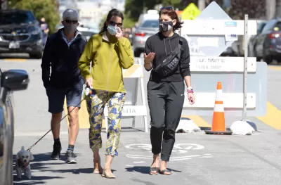
Of the nearly 30 ‘slow streets’ installed in San Francisco during the pandemic and “designed to limit through traffic on some residential streets to create a common, shared space for those also traveling on foot and by bicycle,” Max Darrow reports that “There are four slow street corridors that the SFMTA board authorized to stay in place beyond the state of emergency: Golden Gate Ave., Lake St., Sanchez St., and Shotwell St.”
Locals are divided on their utility. One resident, Vince Meyer, “Meyer thinks the slow street corridors will make the streets safer, will benefit the environment, and will be good for neighborhoods.” Another, Elisa Smith, says “A lot of these are just causing more problems than they are a source of enjoyment for people.” According to Smith, “There should be probably, an assessment done, of which ones are highly, highly used, and which ones are not.”
Darrow notes that “The SFMTA has removed several slow streets that were put up during the pandemic, such as Duncan, Excelsior, and Mariposa, due to low use and conflicts with other planning efforts, according to a spokesperson.”
FULL STORY: Quentions linger over future of San Francisco neighborhood 'Slow Streets'

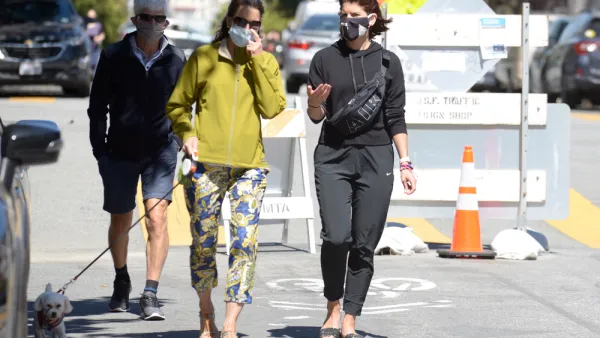
San Francisco Nixes Slow Street
Lake Street’s designation as a ‘slow street’ is overwhelmingly popular with residents. Why does the city plan to dismantle it?
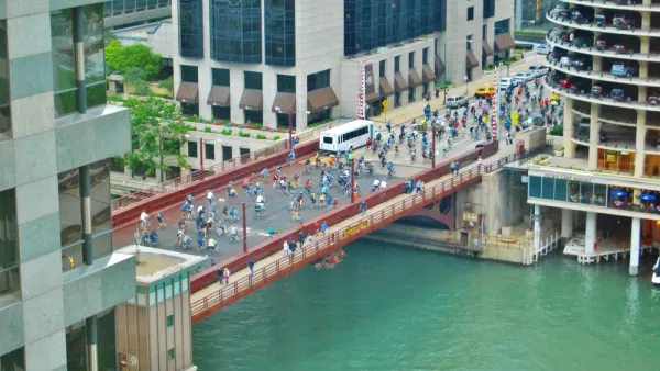
Chicago Dismantles Leland 'Slow Street' Three Months Early
Citing neighborhood concerns, the city is ending the Slow Street program on Leland Street as more parks and beaches reopen, but advocates want to see more permanent traffic calming measures.
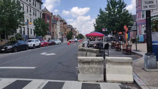
The Slow Streets Reckoning
Slow streets programs provided a quick short-term solution and paved the way for some permanent street closures and realignments. Now, these programs are getting a second look as community groups react to the changes.

Planetizen Federal Action Tracker
A weekly monitor of how Trump’s orders and actions are impacting planners and planning in America.

The state-sanctioned urbicide of Austin
People don’t kill cities. Freeways do.

US to reduce Colorado River water deliveries to Mexico
A new Colorado Treaty amendment reduces Mexico’s Colorado River water allocation by 250,000 acre feet.

5 New England states march closer to 800 megawatt wind energy project
Securing federal approval for the project may be complicated under the Trump administration, which has historically been hostile towards domestic wind power.

Baltimore to break ground on $50 million Transit Priority Project
The project will bring faster bus trips, safer streets and better bike connections to Baltimore.

Airbnb launches $250 million 'last-dollar financing' housing accelerator, makes first investment in Austin
The company will put $6.4 million towards affordable housing development in Texas’ capital.

FREE Course: Walkable City 1: Why Walkability?
After describing his path towards focusing on walkability as the essence of good planning, Jeff Speck marches through his five principal reasons for making more walkable places.
Reinventing Malls: Planning Alchemy—Turning Gray Fields Into Gold
The course focuses on the opportunities and imperatives that shape reinvention of mall sites.

Eagle County Government
Harvard University Graduate School of Design
Nashville Planning Department
The Architects Foundation
University of Cincinnati Online
The Pocatello Development Authority
The Urban Renewal Agency of the City of Pocatello
Journal of the American Planning Association