


A new episode of the Geospatial Revolution Project assesses how scientists used digital mapping tools to think about the pandemic.
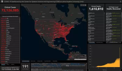
A new episode of the Geospatial Revolution Project focuses on "how digital mapping tools were conscripted into the battle against the COVID-19 pandemic," writes Jonathan Crowe. The project, launched over a decade ago to "explore the use and impact of digital mapping technologies," now takes a look at the tools used to track and understand COVID-19 as the pandemic spread across the world and impacted different communities in different ways. The episode also discusses the ways in which medical professionals and scientists used data and mapping for threat assessment and coordinated response.
Watch the full episode here.
FULL STORY: The Geospatial Revolution Project: Mapping the Pandemic


Nine Months Later: How the Pandemic Is Changing Communities
Planetizen shares the latest in a series of compendia tackling the effects of the pandemic, now and in the future, for cities and communities.

Five Actions to Combat COVID-19 in Hawaii
A data-driven approach is needed to figure out how the disease has spread in the islands and what can be done to contain it.

Staying Healthy During the Pandemic
Local parks and green spaces that enable safe social distancing have never been more important to people living in cities. The Trust for Public Land has released a new report showing their importance and the challenges they are facing.

Maui's Vacation Rental Debate Turns Ugly
Verbal attacks, misinformation campaigns and fistfights plague a high-stakes debate to convert thousands of vacation rentals into long-term housing.

Planetizen Federal Action Tracker
A weekly monitor of how Trump’s orders and actions are impacting planners and planning in America.

San Francisco Suspends Traffic Calming Amidst Record Deaths
Citing “a challenging fiscal landscape,” the city will cease the program on the heels of 42 traffic deaths, including 24 pedestrians.

Defunct Pittsburgh Power Plant to Become Residential Tower
A decommissioned steam heat plant will be redeveloped into almost 100 affordable housing units.

Trump Prompts Restructuring of Transportation Research Board in “Unprecedented Overreach”
The TRB has eliminated more than half of its committees including those focused on climate, equity, and cities.

Amtrak Rolls Out New Orleans to Alabama “Mardi Gras” Train
The new service will operate morning and evening departures between Mobile and New Orleans.
Urban Design for Planners 1: Software Tools
This six-course series explores essential urban design concepts using open source software and equips planners with the tools they need to participate fully in the urban design process.
Planning for Universal Design
Learn the tools for implementing Universal Design in planning regulations.
Heyer Gruel & Associates PA
JM Goldson LLC
Custer County Colorado
City of Camden Redevelopment Agency
City of Astoria
Transportation Research & Education Center (TREC) at Portland State University
Jefferson Parish Government
Camden Redevelopment Agency
City of Claremont