National Zoning Atlas

National Zoning Atlas Expands
The online tool can help city and state officials understand where zoning codes need reform and how they compare to other localities.
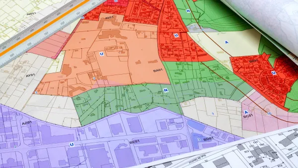
How a National Zoning Atlas Can Clarify a Legal Patchwork
A massive effort is underway to compile local zoning regulations and other laws that impact how and where housing is built.
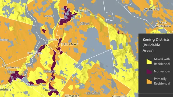
National Zoning Atlas Makes Headway
The project aims to bring zoning data from around the country into one database, making it easier for planners and researchers to compare policies and their impacts.
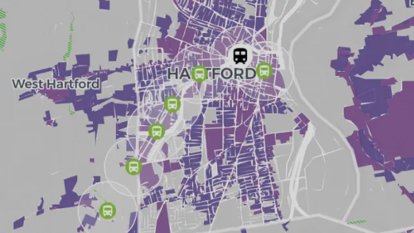
Project Highlights Relationship Between Zoning and Affordable Housing
A nationwide ‘digital zoning atlas’ shows how different zoning districts overlap with and affect transportation, infrastructure, and housing affordability.

FREE Course: Walkable City 1: Why Walkability?
After describing his path towards focusing on walkability as the essence of good planning, Jeff Speck marches through his five principal reasons for making more walkable places.
Reinventing Malls: Planning Alchemy—Turning Gray Fields Into Gold
The course focuses on the opportunities and imperatives that shape reinvention of mall sites.

City of Rosemead
Rutgers University, Edward J. Bloustein School of Planning and Public Policy
One Hundred Miles
Hunter College, City University of New York (CUNY)
The Architects Foundation
University of Cincinnati Online
City of Cambridge
Montrose County
The Pocatello Development Authority