ArcGIS

The future of GIS, explored
The pros and cons of ArcGIS Urban, CityEngine, AI assistants and more notes from the 2026 Esri User Conference.
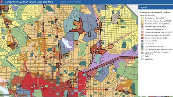
What Is GIS?
GIS software, which combines location information with data about a range of other attributes, has become an indispensable tool for mapping and spatial analysis in urban planning and dozens of other fields.
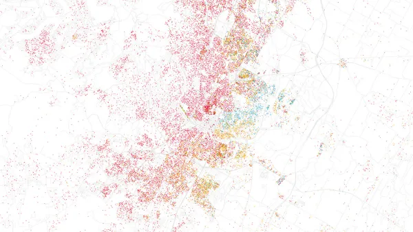
Esri App Makes Data Visualization Easy
A wealth of pre-authored policy maps lets users access data to explore public policy issues.
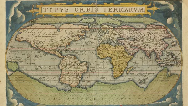
Atlas for the End of the World
In a new brief, Penn IUR Faculty Fellow Richard Weller writes about mapping that recognizes the interdependence of people and conservation.

Remix Promises to Streamline Transit Planning
Based out of San Francisco, Remix is an intuitive, data-rich tool for transit planners as they consider new routes. All you need to do is draw out the line on a map and add stops.
Mobile App Helps Battle Graffiti in Philadelphia
Philadelphia's Community Life Improvement Program is using Esri's Collector mobile app to empower their data collection in management. Prior to Collector, the anti-graffiti effort was driven by Excel.

FREE Course: Walkable City 1: Why Walkability?
After describing his path towards focusing on walkability as the essence of good planning, Jeff Speck marches through his five principal reasons for making more walkable places.
Reinventing Malls: Planning Alchemy—Turning Gray Fields Into Gold
The course focuses on the opportunities and imperatives that shape reinvention of mall sites.

City of Rosemead
Rutgers University, Edward J. Bloustein School of Planning and Public Policy
One Hundred Miles
University of Michigan School for Environment and Sustainability (SEAS)
Hunter College, City University of New York (CUNY)
The Architects Foundation
City of Cambridge
Montrose County
The Pocatello Development Authority