Pittsburgh is betting on its own version of New York City's famed elevated park, based on a 500-foot-long raised roadway connecting two warehouses.



Pittsburgh wants to replicate the success of NYC's High Line with its own park repurposed from old industrial infrastructure. Matthew Marani writes, "Developer McKnight Realty teamed up with local firm Indovina Associates Architectsto redevelop the Pittsburgh Terminal Warehouse and Transfer Company on the city's deindustrialized South Shore. The $110 million complex will bring 600,000 square feet of office and retail to the area."
A groundbreaking ceremony took place last month for the project, which will be dubbed, fittingly, the Highline. "The building—they are one, but appear to be two—is connected by a five-hundred-foot-long elevated roadway that will be converted into a park-like space with lighting and seating."
The redeveloped complex will also include other park facilities. "Below the Highline, and along the facility's loading docks, there will be a lower park dubbed the Yards which will serve as an extension to Pittsburgh's preexisting river trail system."
Read the full story: A High Line in Pittsburgh? Officials bet big on elevated park in Steel City
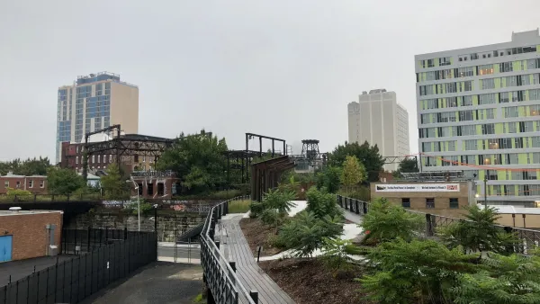
First Phase of Rail Park in Philadelphia Points to More Good Things to Come
A visit to the park highlights the creative reuse and design that is transforming an old railway into a vibrant public space.
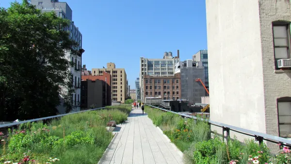
Around the World, Cities Imitate the High Line
The High Line's brand of urban reinvention has caught on, sparking a number of similar projects throughout the world. In addition to disused rail, many projects repurpose old road infrastructure.
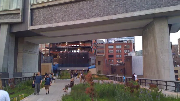
The All-New High Line
With travel restrictions requiring quarantines for many out-of-state visitors to New York City, the normal hordes of tourists on New York's High Line will be absent for months to come.

Planetizen Federal Action Tracker
A weekly monitor of how Trump’s orders and actions are impacting planners and planning in America.
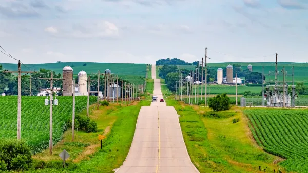
Eastern Nebraska is running out of electricity
Data centers and electrification are straining eastern Nebraska’s grid, throttling economic development.
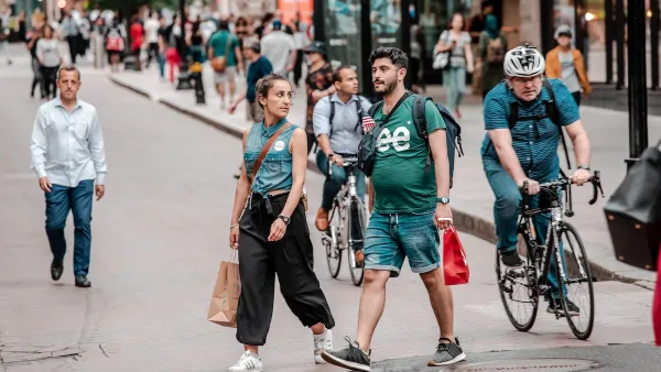
Study reveals best places in the U.S. for cycling, walking
New research from Streetlight Data examines bicycle and pedestrian miles per capita in the 100 largest U.S. cities by population.

Officials look to alter BART extension as price goes through the roof
Tariffs and the war with Iran are behind the rising cost.

To power data centers, Utah company may build hundreds of nuclear reactors on state land
In its permit application, Valar asked for the county to confirm that changes within its outlined plan would still be covered by the permit.

San Antonio is using environmental review to stall ICE detention center
San Antonio sued last month to pause work on the new detention center until the federal government studied its effect on the surrounding area.

FREE Course: Walkable City 1: Why Walkability?
After describing his path towards focusing on walkability as the essence of good planning, Jeff Speck marches through his five principal reasons for making more walkable places.
Reinventing Malls: Planning Alchemy—Turning Gray Fields Into Gold
The course focuses on the opportunities and imperatives that shape reinvention of mall sites.

City of Charlotte
City of Rosemead
Rutgers University, Edward J. Bloustein School of Planning and Public Policy
University of Michigan School for Environment and Sustainability (SEAS)
Hunter College, City University of New York (CUNY)
The Architects Foundation
City of Cambridge
The Pocatello Development Authority
The Urban Renewal Agency of the City of Pocatello