The American Rivers advocacy organization this week released their annual list of most endangered rivers in the United States.


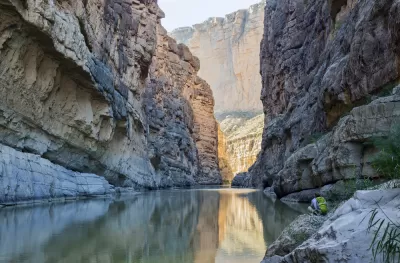
American Rivers announced the Most Endangered Rivers of 2018 list on April 10, raising the alarm about the potential for catastrophic developments affecting rivers in eight states. Several rivers are cited specifically for the potential of the Trump Administration and Congress to decide the future of the river.
Included on the list are the following rivers and the state where the primary threat is located:
- Big Sunflower River, Mississippi
- Rivers of Bristol Bay, Alaska
- Boundary Waters, Minnesota
- Lower Rio Grande, Texas
- South Fork Salmon River, Idaho
- Mississippi River Gorge, Minnesota
- Smith River, Montana
- Colville River, Alaska
- Middle Fork Vermilion River, Illinois
- Kinnickinnic River, Wisconsin
The first river on the list is threatened by the Yazoo Pumps Project, according to American Rivers, which would "damage more than 200,000 acres of wetlands in the Big Sunflower River watershed in the heart of the Mississippi River Flyway. More than 450 species of fish and wildlife, including the Louisiana black bear, rely on the wetlands habitat that would be drained by the project."
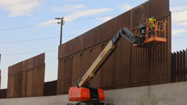
American Rivers also lists President Trump's proposed border wall as the threat facing the Lower Rio Grande. In addition to the announcement of the 2018 list, see also a page set up with portals to more information on each of the endangered rivers. The full report [pdf] is also available online.
Several media outlets and advocates have also picked up the new online.
- Report: 2 Minnesota rivers among most endangered in U.S. (MPRNews)
- Mississippi's Big Sunflower River named nation's 'most endangered' in 2018 (Clarion Ledger)
- South Fork of the Salmon River among America's Most Endangered Rivers of 2018 (Idaho Rivers United)
- America's 10 Most Endangered Rivers for 2018 (The Weather Channel)
See also Planetizen coverage of previous lists.
Read the full story: ANNOUNCING AMERICA’S MOST ENDANGERED RIVERS® OF 2018
America's 'Most Endangered Rivers' Face New Threats in 2017
The American Rivers advocacy group has released its annual report on the country's most endangered rivers, paying special attention to the threats posed to the country's waterways in new federal policies and budget plans.

Trump asks Supreme Court to allow border wall through Texas national park
Judge Kathleen Cardone previously blocked the Big Bend border wall project, and Texas’ Land Commissioner has spoken out against it as well.
As opposition to border wall grows, Texas must choose: the will of its people, or Trump?
The Trump administration wants to build a border wall through beloved state land in Texas, including a state park.

Planetizen Federal Action Tracker
A weekly monitor of how Trump’s orders and actions are impacting planners and planning in America.
California plans to bury El Niño’s downpour
If the state plays its cards right, it may be able to store a billion acre-feet of El Niño’s water in aquifers.
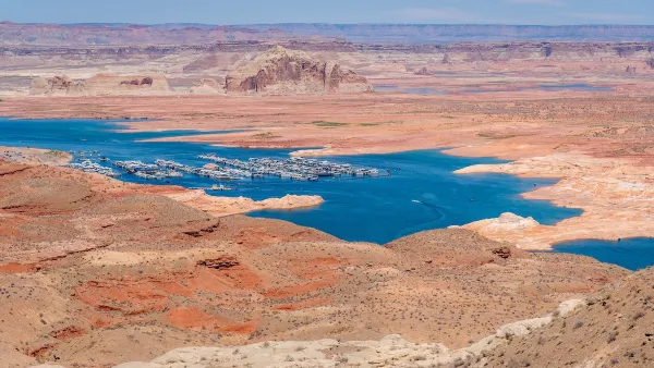
Desperate measures: Advocates weigh draining Lake Powell to fill Colorado River
Draining the reservoir could reduce evaporation losses by a couple hundred thousand acre-feet.

Housing is the top priority of Seattle’s sole new councilmember
Jenks campaigned on building 1,000 new units of affordable housing.

New tax cuts may slash $1.5 billion in funding for Miami transit, public parks
Amendment 3 will save Miami-Dade homeowners $2,700 in 2028.

Arizona, Wisconsin, Pennsylvania hope to finally advance climate goals post-midterms
The three states have spent years under Republican or divided control.

FREE Course: Walkable City 1: Why Walkability?
After describing his path towards focusing on walkability as the essence of good planning, Jeff Speck marches through his five principal reasons for making more walkable places.
Reinventing Malls: Planning Alchemy—Turning Gray Fields Into Gold
The course focuses on the opportunities and imperatives that shape reinvention of mall sites.

City of Rosemead
Rutgers University, Edward J. Bloustein School of Planning and Public Policy
One Hundred Miles
University of Michigan School for Environment and Sustainability (SEAS)
Hunter College, City University of New York (CUNY)
The Architects Foundation
City of Cambridge
Montrose County
The Pocatello Development Authority