Introducing the Cuyahoga Greenway plan, in the initial stages of visioning and public engagement in Northeast Ohio.


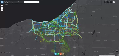
Steven Litt reports on the ongoing planning and design process for the Cuyahoga Greenway Framework Plan, which he describes as an ambitious piece of a larger effort to retrofit a region built for the car.
The current vision for the Cuyahoga Greenways is "a vast grid designed to connect the county's 59 communities to each other, to downtown Cleveland, the Lake Erie shoreline, the Towpath Trail in the Cuyahoga Valley, adjacent counties, and regions far beyond Northeast Ohio," explains Litt, encompassing "hundreds of miles of trails, greenways and bike paths."
The planning process is entering a public engagement phase, with a series of public hearings, listening sessions, and an online survey. "The public can also access a detailed online planning tool that enables users to zoom in on a highly detailed map of the proposed greenway network," according to Litt.
The article includes additional details about how the planning process has been funded, professional partners on the planning process, the original inspiration for the plan, and more about the broad ambitions the plan represents.
FULL STORY: Cuyahoga County seeks public input on greenways that would retrofit a region designed for the car

How to Make Greenways Better
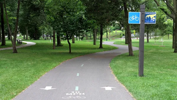
Adding amenities such as public restrooms and shade trees can make greenways like Detroit’s Joe Louis Greenway more inviting and comfortable for their users.
Study: Cuyahoga County Suburbs Ready for TOD
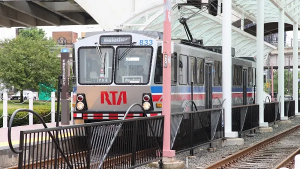
The growth of transit-oriented development in the Cleveland region is being hindered by zoning codes that limit housing density and excessive parking requirements that drive up construction costs, new research suggests.
Freeway Cap Park Proposed in the Heart of Cleveland
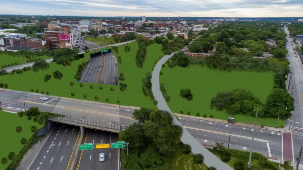
A proposal to cap part of the Innerbelt Freeway east of Downtown Cleveland would require the demolition of a vacant, historic courthouse near the East 22nd Street Bridge.

Planetizen Federal Action Tracker
A weekly monitor of how Trump’s orders and actions are impacting planners and planning in America.

The state-sanctioned urbicide of Austin
People don’t kill cities. Freeways do.

US to reduce Colorado River water deliveries to Mexico
A new Colorado Treaty amendment reduces Mexico’s Colorado River water allocation by 250,000 acre feet.

5 New England states march closer to 800 megawatt wind energy project
Securing federal approval for the project may be complicated under the Trump administration, which has historically been hostile towards domestic wind power.

Baltimore to break ground on $50 million Transit Priority Project
The project will bring faster bus trips, safer streets and better bike connections to Baltimore.

Airbnb launches $250 million 'last-dollar financing' housing accelerator, makes first investment in Austin
The company will put $6.4 million towards affordable housing development in Texas’ capital.

FREE Course: Walkable City 1: Why Walkability?
After describing his path towards focusing on walkability as the essence of good planning, Jeff Speck marches through his five principal reasons for making more walkable places.
Reinventing Malls: Planning Alchemy—Turning Gray Fields Into Gold
The course focuses on the opportunities and imperatives that shape reinvention of mall sites.

Eagle County Government
Harvard University Graduate School of Design
Nashville Planning Department
The Architects Foundation
University of Cincinnati Online
The Pocatello Development Authority
The Urban Renewal Agency of the City of Pocatello
Journal of the American Planning Association