The Los Angeles City Planning Commission has approved new plans for parts of South Los Angeles. A focus on transit-oriented development and commercial revitalization has raised concerns over displacement.



Community plan updates for neighborhoods in South L.A. have been approved, but it's still too early to gauge the full breadth of stakeholder response. Elijah Chiland writes, "The two plans, which city officials are reviewing simultaneously, cover more than a dozen different neighborhoods roughly east of Arlington Avenue and south of Pico Boulevard, extending as far west as Alameda Street in places, and as far south as 120th Street. Neighborhoods within those boundaries include Historic South-Central, Vermont Square, Florence, and Watts."
The plans place "a focus on transit-oriented development, revitalization of commercial corridors, and the elimination of public health hazards that can arise when housing is situated within close proximity of industrial sites."
Despite the fact that many of L.A.'s aging plans are in desperate need of updates, some community activists are concerned that the plans do too little to discourage displacement of existing residents if that commercial revitalization succeeds.
FULL STORY: Planning commission approves new community plans for South LA

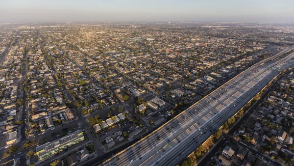
South L.A. Community Plans Tackle Gentrification
As public and private investment grow in South L.A., new community plans mark a victory for local organizers seeking to prevent displacement.

High Housing Costs Driving Down Transit Ridership in LA
When neighborhoods gentrify and displace lower-income residents, transit ridership suffers, new research shows.
Nipsey Hussle Wanted Community Partnerships for South L.A.’s Development Future
Before his death in March, Hussle has plans for an opportunity zone investment fund that would ensure the community wouldn’t lose out in the development process.

Planetizen Federal Action Tracker
A weekly monitor of how Trump’s orders and actions are impacting planners and planning in America.

The state-sanctioned urbicide of Austin
People don’t kill cities. Freeways do.

US to reduce Colorado River water deliveries to Mexico
A new Colorado Treaty amendment reduces Mexico’s Colorado River water allocation by 250,000 acre feet.

Mamdani overhauls NYC's Vision Zero plan with 100 new policy goals
The overhaul aims to reduce traffic deaths and make streets safer for pedestrians, cyclists and drivers through lower speed limits, new safety infrastructure and more.

Amtrak not solely to blame for New Jersey commuter rail's unreliability, report finds
A new study from the Garden State Initiative found that NJ Transit’s budget grew 20% across a 4 year period, but reliability declined significantly over the same period.

EPA erases limits on planet-warming pollution from power plants
Under Monday’s plan, power plants would still have some limits on how much mercury, arsenic and other contaminants they can emit.

FREE Course: Walkable City 1: Why Walkability?
After describing his path towards focusing on walkability as the essence of good planning, Jeff Speck marches through his five principal reasons for making more walkable places.
Reinventing Malls: Planning Alchemy—Turning Gray Fields Into Gold
The course focuses on the opportunities and imperatives that shape reinvention of mall sites.

Eagle County Government
Harvard University Graduate School of Design
Nashville Planning Department
The Architects Foundation
University of Cincinnati Online
The Pocatello Development Authority
The Urban Renewal Agency of the City of Pocatello
Journal of the American Planning Association