An analysis of the geographic distribution of New York's new public plazas sought to determine if the program was meeting one of its stated goals: providing access to public plazas for low- and moderate-income households.


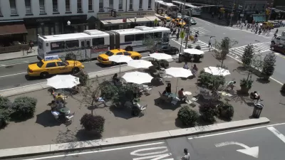
The NYC Plaza Program has set some lofty goals for the creation of new public spaces in the city. Writing in the Placemeter blog, Natalie Kunstadter took on the challenge of determining if the program is meeting one of its stated goals, by providing access to the new public plazas to households with low and moderate incomes. Using census data and location data for the new plazas provided by the city, Kunstadter's geospatial analysis looked at the proximity of target households to the plazas.
The Plaza Program wants to ensure that all New Yorkers are within a 10-minute walk of green space, so I analyzed the area within a 10-minute walk of each of the project sites. A quick internet search told me that a standard conversion for this walk was 800 meters, so I created an 800-meter buffer around each plaza. I then did a spatial join between the new polygons and the census/income polygons to find the average of the median household income that fell within a 10-minute walk of each plaza.
Kunstadter's analysis, detailed both in map and histogram form, found that approximately 54 percent of the new plazas were situated in areas that served low-income residents, meaning the program was achieving its stated goal for equal access. However she does seem room for improvement in the model, including giving weight to the population density in each tract. Better data analysis could potentially aid the program in placing future plazas in areas that need them.
[The article was updated with the correct spelling of the author's name.]
Read the full story: Plazas For The People: A Geospatial Analysis Of The NYC Plaza Program

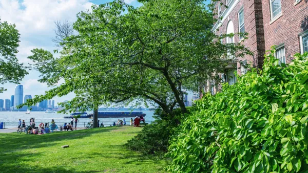
Even Parks Are Going Online During the Pandemic
Parks departments in New York City and Pittsburgh are offering videos and livestreams to cooped-up residents.
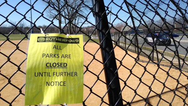
Frontlines of the Social Distancing Effort Shifts to Parks and Open Space
Too many people have been seeking normalcy on parks and on trails. This isn’t a normal time.
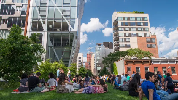
Ten Years of the High Line—Time to Reflect
As the High Line turns ten, a debate about the costs and benefits of urban revitalization continues.

Planetizen Federal Action Tracker
A weekly monitor of how Trump’s orders and actions are impacting planners and planning in America.

Amtrak, CN end decades-long dispute with eight-year agreement
The new operating agreement establishes an updated framework for the companies to work together, including processes to resolve disputes.
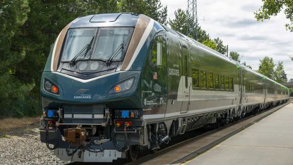
Northwest rail fans eager for Sept. 30 debut of Amtrak’s Airo fleet
Get ready for that new train smell and more seats. But they won’t go faster or run more frequently on the Cascades route in Washington and Oregon.

St. Louis Metro to test if single-car trains can reduce operating costs, maintain rider satisfaction
The pilot program will run from October to spring 2027, and begin with one single-car train operating on Metrolink’s Red and Blue lines.

Pennsylvania is building data centers in abandoned mines
Housing data centers in mines provides an alternative to destroying local forests and may spare residents from data centers’ noise and air pollution.

If Corpus Christi can’t revive desalination plant project, it may owe Texas $235 million
Earlier this month, city officials declined to pursue developing the plant for the second time in a year.

FREE Course: Walkable City 1: Why Walkability?
After describing his path towards focusing on walkability as the essence of good planning, Jeff Speck marches through his five principal reasons for making more walkable places.
Reinventing Malls: Planning Alchemy—Turning Gray Fields Into Gold
The course focuses on the opportunities and imperatives that shape reinvention of mall sites.

City of Thousand Oaks
City of Wisconsin Rapids
Harvard University Graduate School of Design
The Architects Foundation
University of Cincinnati Online
The Pocatello Development Authority
The Urban Renewal Agency of the City of Pocatello