The in-migration of Millennials is largely driving the changes that American cities are going through. More specifically, it is the ones with college degrees who are driving the change. Where are they moving, and what is their effect?



As both Joe Cortright of the City Observatory and I have written, Millennials—people who have reached adulthood since the beginning of the millennium—and their in-migration, are largely driving the changes that American cities are going through. More specifically, it is the ones with college degrees who are driving the change. That leaves a lot of questions, though, both about what’s currently going on and what’s likely to happen in the future. Two particular questions come to mind: first, where are they moving to, and how does that affect those places? And second, is this trend likely to turn into a tidal wave in the future, or ebb?
In attempting to answer the first question, I’m deliberately going to look not at the handful of "hot" cities, like San Francisco and Washington DC, but at the in-between cities, the ones that are also changing, but in more gradual and uncertain fashion.
I don’t have much in the way of computer skills, so I was recently delighted to learn that PolicyMap has created a feature they call 3-Layer Mapping, with which people like me can create multi-factor maps. I decided to see what different cities would look like if I put two factors together to pin down those areas where 50 percent or more of the adults 25 or older have a BA or higher degree, and where 25 percent or more of the population is age 25 to 34. To put that in context, nationally 29 percent of adults have a BA or higher degree, and 13 percent of the population is age 25 to 34. So these are areas that are close to double the national average on both indicators; in other words, concentrations or critical masses of educated Millennials. I then created maps for two periods—one for the year 2000, and the other for 2014—to see what was happening.
FULL STORY: Millennials, Revisited


Do Millennials Opt for Cities or Suburbs? Yes.
Recent stories claiming that millenials either (a) prefer cities to suburbs or (b) prefer suburbs to cities both have some basis in reality.
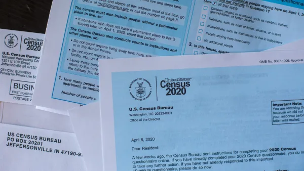
Republicans are Pushing to Make the American Community Survey Voluntary. History Shows That’s a Death Sentence for Data.
A voluntary survey will make demographic data “less accurate, less available, and less useful” — and for some rural communities, “a total blackout.”
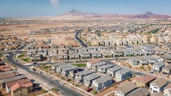
US Census Releases Most Accurate, Granular Housing Data Yet
A new measurement tool eliminates the inaccuracies that have plagued data about housing supply, helping governments more clearly understand how housing policies are impacting local needs.

The state-sanctioned urbicide of Austin
People don’t kill cities. Freeways do.

US to reduce Colorado River water deliveries to Mexico
A new Colorado Treaty amendment reduces Mexico’s Colorado River water allocation by 250,000 acre feet.

New Jersey’s second-largest city bans standalone data centers
Jersey City will continue to allow co-location facilities, such as those meant for research institutions that store their own data.

Amtrak not solely to blame for New Jersey commuter rail's unreliability, report finds
A new study from the Garden State Initiative found that NJ Transit’s budget grew 20% across a 4 year period, but reliability declined significantly over the same period.

EPA erases limits on planet-warming pollution from power plants
Under Monday’s plan, power plants would still have some limits on how much mercury, arsenic and other contaminants they can emit.

Phoenix announces new on-demand transit service, more frequent RAPID buses
Both new services will launch in October, and are part of Phoenix's Project Effective Access Solutions for Easing Congestion.

FREE Course: Walkable City 1: Why Walkability?
After describing his path towards focusing on walkability as the essence of good planning, Jeff Speck marches through his five principal reasons for making more walkable places.
Reinventing Malls: Planning Alchemy—Turning Gray Fields Into Gold
The course focuses on the opportunities and imperatives that shape reinvention of mall sites.

Eagle County Government
Harvard University Graduate School of Design
Nashville Planning Department
The Architects Foundation
University of Cincinnati Online
The Pocatello Development Authority
The Urban Renewal Agency of the City of Pocatello
Journal of the American Planning Association