A researcher from the Bill Lane Center for the American West at Stanford University explains how to use interactive maps to track climate change.


Geoff McGhee provides insight and access to two interactive graphics that "track changes in two crucial drought indicators." The graphics, which are intended to better track climatic conditions around the West and the country, are the result of collaboration between the Bill Lane Center for the American West at Stanford University and EcoWest.
According to McGhee, the "Tracking U.S. Drought Severity" interactive map "presents weekly Drought Monitor analyses for all 50 states, going back to January 2000," and allows users to identify regional and state trends. Experts also provide analysis.
For the article, McGhee also provides his own analysis of the some of the recent trends in climate from around the country, including how storms that skipped California spent the winter hammering New England.
Read the full story: Visualizing a Wet, Hot (and Also Very Dry) American Summer


The Equity of Tiered Water Pricing
A tale of two water-parched cities, one in California, the other in New Mexico, and the critical role played by tiered water pricing. Long known as an effective economic strategy to reduce consumption, tiered pricing also influences equity.
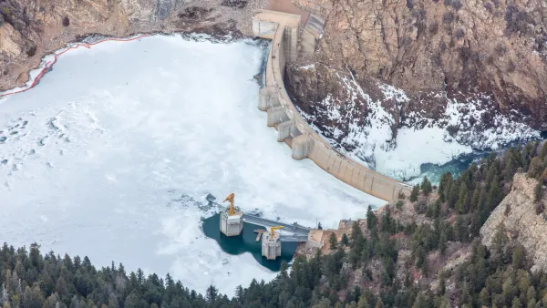
Instead of water, sediment from droughts and wildfire is choking U.S. dams
Sediment has filled 8% of dam storage capacity in the United States. Because of climate change, researchers expect it will only accumulate quicker.
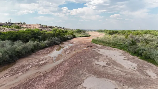
15 million people rely on the Rio Grande — in 2 years, it may run dry
The river fuels billions of dollars in agricultural production. Reducing agricultural water use may be the only way to save it.

Planetizen Federal Action Tracker
A weekly monitor of how Trump’s orders and actions are impacting planners and planning in America.

Amtrak, CN end decades-long dispute with eight-year agreement
The new operating agreement establishes an updated framework for the companies to work together, including processes to resolve disputes.

Judges permit Denver to divert 77,000 acre feet from the Colorado River for reservoir expansion
Overuse and climate change have caused the Colorado River’s water levels to plummet.

Maryland local governments examine if they should have more power to raise property taxes
Maryland’s housing market is out of reach for the majority of moderate-income residents.

Northwest rail fans eager for Sept. 30 debut of Amtrak’s Airo fleet
Get ready for that new train smell and more seats. But they won’t go faster or run more frequently on the Cascades route in Washington and Oregon.
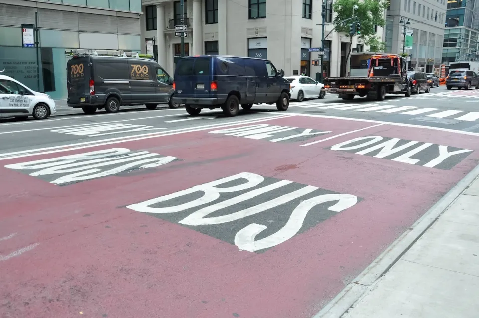
NYC DOT wants faster, more permanent street upgrades
The city is examining ways to build more concrete infrastructure without getting entangled in 'decades-long' projects.

FREE Course: Walkable City 1: Why Walkability?
After describing his path towards focusing on walkability as the essence of good planning, Jeff Speck marches through his five principal reasons for making more walkable places.
Reinventing Malls: Planning Alchemy—Turning Gray Fields Into Gold
The course focuses on the opportunities and imperatives that shape reinvention of mall sites.

Harvard University Graduate School of Design
KFH Group Inc.
Greater Baltimore Committee
The Architects Foundation
University of Cincinnati Online
The Pocatello Development Authority
The Urban Renewal Agency of the City of Pocatello