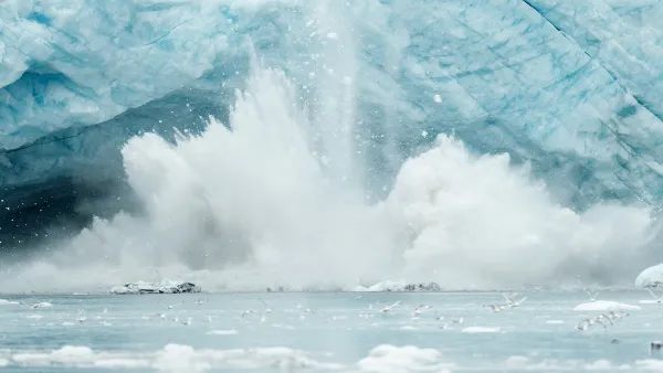
National Geographic Geographer Juan José Valdés calls the changes in the map of Arctic ice in the 10th edition of the National Geographic Atlas of the World, "the biggest visible change other than the breakup of the U.S.S.R."


According to an article by Christine Dell'Amore, the impact of climate change on the face of the earth is more obvious than ever: "The shrinking of the Arctic ice sheet in the upcoming 10th edition of the National Geographic Atlas of the World is one of the most striking changes in the publication's history, geographers say."
The article also details a controversy over whether the atlas should represent minimum sea ice cover (which is measured at the end of summer, in September, or maximum ice cover, measured at the end of winter, in March.
Gwynn Guilford, also goes into detail about that controversy in coverage for Quartz.
Read the full story: Shrinking Arctic Ice Prompts Drastic Change in National Geographic Atlas
Arctic Ice Melt Could Trigger 'Economic Timebomb'
The unprecedented decline in Arctic sea ice could cause the catastrophic release of methane, imperiling the world's climate and economy, reports a new paper published in the journal Nature.
Who pays when a remote Alaska village can no longer stay?
A year after ex-Typhoon Halong, the struggle for two communities to find safer ground has become part of a national debate over who should bear the costs of the climate crisis.

'Something we’ve never seen before:' rising utility rates could strain city finances nationwide
Data centers, climate change and other factors have caused utility rates in the United States to increase by 38% since 2020.
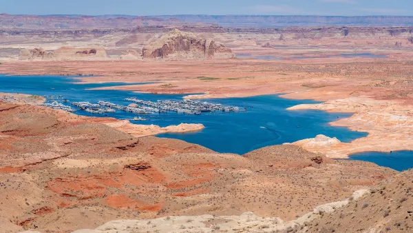
Desperate measures: Advocates weigh draining Lake Powell to fill Colorado River
Draining the reservoir could reduce evaporation losses by a couple hundred thousand acre-feet.

Eastern Nebraska is running out of electricity
Data centers and electrification are straining eastern Nebraska’s grid, throttling economic development.
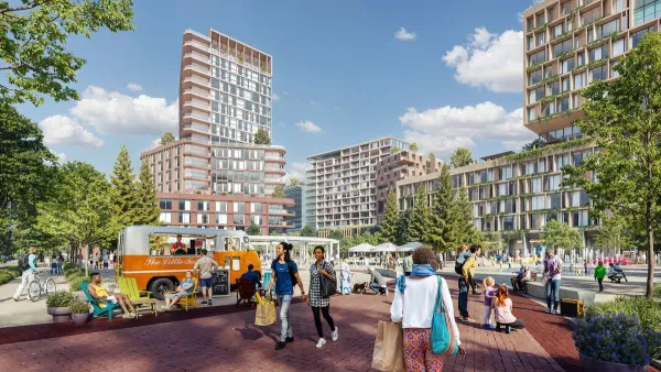
Malls are becoming the midtowns of the future
Mall and office park redevelopments are a generational opportunity to create new nodes of urbanity.

NYC breaks ground on anti-flooding infrastructure project
New York City's new system will reduce stormwater flows to local sewers by 90%.

One Kentucky town’s secret to affordable housing
The Smoketown Community Land Trust has already built seven affordable homes for community members.

Houston gains petal-shaped cooling infrastructure to make streets more ‘delightful’
The city has installed the pavilions along 15 blocks in Houston.

FREE Course: Walkable City 1: Why Walkability?
After describing his path towards focusing on walkability as the essence of good planning, Jeff Speck marches through his five principal reasons for making more walkable places.
Reinventing Malls: Planning Alchemy—Turning Gray Fields Into Gold
The course focuses on the opportunities and imperatives that shape reinvention of mall sites.

City of Rosemead
Rutgers University, Edward J. Bloustein School of Planning and Public Policy
One Hundred Miles
University of Michigan School for Environment and Sustainability (SEAS)
Hunter College, City University of New York (CUNY)
The Architects Foundation
City of Cambridge
Montrose County
The Pocatello Development Authority