Using high definition scanners, digital modeling, and Scan-to-BIM software, consultants and non-profits are helping to restore historic structures following natural disasters, and cataloging treasures before calamity strikes.


"Preservation architects are turning to new technologies to help rebuild historic structures damaged by natural disasters," writes Liz McEnaney. "One such project is at the Arts Centre in Christchurch, New Zealand, where Holmes Consulting Group (HCG) is using 3D scanning equipment to stabilize, repair, and strengthen the former Canterbury College buildings, a complex of late-19th century Gothic stone masonry structures that were severely damaged by earthquakes in 2010 and 2011."
"Engineers and architects are not only using 3D scanning technology to respond to natural disasters, they are applying these technologies to prepare for future strikes," she adds. The not-for-profit organization CyArk "is creating a free, 3D online library of the world’s cultural heritage sites," including Ancient Thebes, Angkor Wat, Pompeii, and Mesa Verde.
Read the full story: DIGITAL DISASTER RELIEF

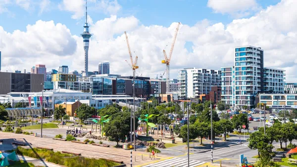
New Zealand Zoning Reform Targets Housing Production
New national rules will prevent local councils from limiting development in an effort to ease the nation’s housing crisis.
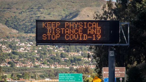
Second Anniversary of the COVID-19 Pandemic
March 11 marked the second anniversary of WHO's declaration of the pandemic and the beginning of its third year. Cases continue to plummet in the U.S. and plateau globally while war in Europe has overshadowed the virus that has killed 6 million.

Zoning Reform: Lessons From New Zealand
The island nation is mandating mid-density zoning requirements and transit-oriented development in an effort to increase housing affordability and encourage compact development.

Planetizen Federal Action Tracker
A weekly monitor of how Trump’s orders and actions are impacting planners and planning in America.

Amtrak, CN end decades-long dispute with eight-year agreement
The new operating agreement establishes an updated framework for the companies to work together, including processes to resolve disputes.

Judges permit Denver to divert 77,000 acre feet from the Colorado River for reservoir expansion
Overuse and climate change have caused the Colorado River’s water levels to plummet.

NYC releases high-tech public restrooms — with a 10 minute time limit
The $4 million pilot program aims to make it easier for people to find public restrooms in New York City.

Alabama scores up to $2.5 billion federal loan for largest infrastructure project in state’s history
The Mobile River Bridge and Bayway Project aims to ease congestion at Alabama’s worst bottleneck.

Trump is considering data centers on 6 states' public land — some state officials say they had no idea
If the administration approves the proposed projects, data center and data center-related developments will cover 17,600 acres of public land.

FREE Course: Walkable City 1: Why Walkability?
After describing his path towards focusing on walkability as the essence of good planning, Jeff Speck marches through his five principal reasons for making more walkable places.
Reinventing Malls: Planning Alchemy—Turning Gray Fields Into Gold
The course focuses on the opportunities and imperatives that shape reinvention of mall sites.

KFH Group Inc.
Greater Baltimore Committee
Eagle County Government
The Architects Foundation
University of Cincinnati Online
The Pocatello Development Authority
The Urban Renewal Agency of the City of Pocatello