Your streets could be killing you -- or at least making it harder for emergency services to reach you in times of need.


A recent conference on sustainability with presentations by the Congress for New Urbanism's John Norquist and the Center for Neighborhood Technology's Jacky Grimshaw emphasized the connection between street design and emergency response.
"'If you have a street grid you can service lots of people, lots of houses with a certain amount of fire service,' Norquist said, 'but if everyone lives in a cul de sac then you need three or four times as many fire personnel to be able to service them at the same level.'
According to CNU, a study in Charlotte, North Carolina, indicating the per capita costs for fire service increased from $159 in the portion of the city with the best-connected street grid network to $740 in the least connected zone.
Grimshaw and Norquist both participated in a discussion on "Rethinking our Cities" as part of the Northwestern University Summit on Sustainability that took place in early April. The two made the point that infrastructure, specifically roads, are not something that necessarily needs protection, as much as they need to function effectively to protect citizens.
In 2010, both the CNT and CNU collaborated with the Institute of Transportation Engineers, the main standards body for road designers, to create a design manual for urban thoroughfares.
'It's available for free download at ite.org,' said Norquist."
Read the full story: Designing Streets for Emergencies

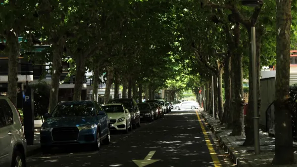
Research: More Complex Streets Are Safer
Streets that offer more perceived obstacles and distractions can force drivers to slow down and drive more carefully.
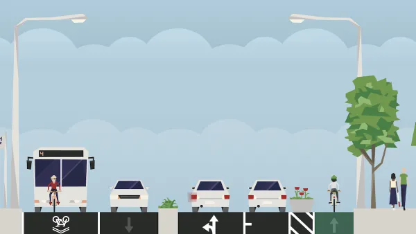
Reimagining Your Street
How to use free online tools to redesign your local streetscape.
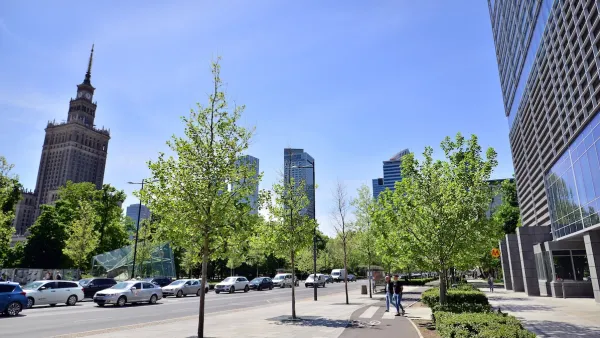
Milwaukee Road Safety Efforts Paying Off
The city is seeing fewer speeding violations after installing traffic calming measures and boosting enforcement to limit reckless driving.

Planetizen Federal Action Tracker
A weekly monitor of how Trump’s orders and actions are impacting planners and planning in America.

Amtrak, CN end decades-long dispute with eight-year agreement
The new operating agreement establishes an updated framework for the companies to work together, including processes to resolve disputes.

Judges permit Denver to divert 77,000 acre feet from the Colorado River for reservoir expansion
Overuse and climate change have caused the Colorado River’s water levels to plummet.
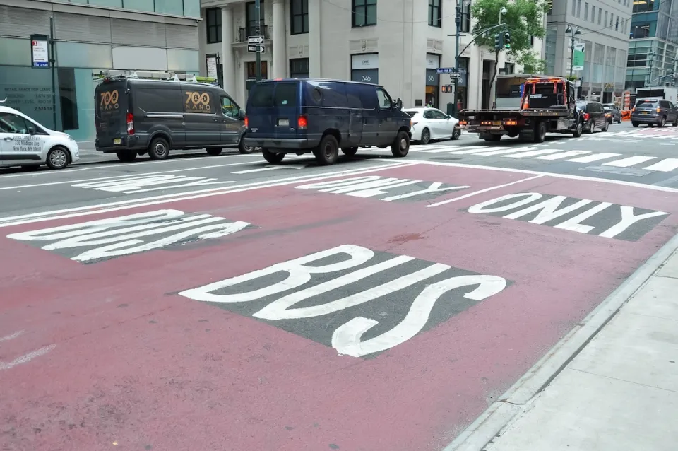
NYC DOT wants faster, more permanent street upgrades
The city is examining ways to build more concrete infrastructure without getting entangled in 'decades-long' projects.

'Something we’ve never seen before:' rising utility rates could strain city finances nationwide
Data centers, climate change and other factors have caused utility rates in the United States to increase by 38% since 2020.

Trump to overrule local leaders, lease millions of acres of America’s Pacific Island territories’ seafloors to mining companies
International law says that the Indigenous people of America’s territories have a right to prior and informed consent regarding projects that impact their countries.

FREE Course: Walkable City 1: Why Walkability?
After describing his path towards focusing on walkability as the essence of good planning, Jeff Speck marches through his five principal reasons for making more walkable places.
Reinventing Malls: Planning Alchemy—Turning Gray Fields Into Gold
The course focuses on the opportunities and imperatives that shape reinvention of mall sites.

Harvard University Graduate School of Design
KFH Group Inc.
Greater Baltimore Committee
The Architects Foundation
University of Cincinnati Online
The Pocatello Development Authority
The Urban Renewal Agency of the City of Pocatello