Few children’s books skillfully cover the subject of urban planning. Chicago's Wacker Manual for the Plan of Chicago (1911), David Macaulay’s lavishly illustrated City:A Story of Roman Planning and Construction (1974), and most recently, Planetizen's Where Things Are, From Near to Far (2008) are standouts.



Few children's books skillfully cover the subject of urban planning. Chicago's Wacker Manual for the Plan of Chicago (1911), David Macaulay's lavishly illustrated City:A Story of Roman Planning and Construction (1974), and most recently, Planetizen's Where Things Are, From Near to Far (2008) are standouts.
However, as the majority of the world's population shifts to urban areas the basics of sustainable city building must be taught more effectively to children of all ages. With this in mind, I was delighted to receive Mara Rockliff's The Busiest Street In Town from Kim Wiley-Schwartz, Director of New YorkCity-based Streets Education.

Charmingly illustrated by Sarah McMenemy, the story picks up along Rushmore Boulevard, a major thoroughfare bisecting the homes of lifelong friends, and neighbors, Agatha May Walker and Eulalie Scruggs. Like many formerly pleasant urban streets, Rushmore Boulevard is dominated by motor vehicles to the point where Agatha May and Eulalie can no longer cross the street safely.
The tale follows Agatha May, who is armed with an unflappable DIY spirit, as she attempts to reclaim the street from the hegemony of the automobile. What emerges is the complete transformation of Rushmore Boulevard.
Drawing most obviously from the techniques employed by Aussie urbanist Dave Engwicht, as well as numerous other livable street champions (Hans Monderman, Jan Gehl, Janette Sadik-Khan, etc.), this whimsical tale will not only delight a five-year old child, it will also inspire the 55-year old traffic engineer, and remind us all to work towards leaving a better world behind.
Pick up your copy today!
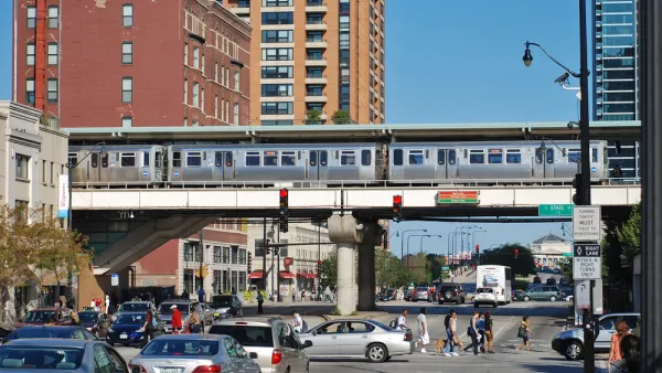
Chicago's New Strategic Plan for Transportation Prioritizes Equity and Accountability
The plan calls for safer streets, more equitable distribution of resources, and expanded community engagement.
Lessons from 'The Human Scale'
How can we redirect our city building into a form that can handle the expected doubling of urban residents over the next 40 years? Great ideas can be found in this collection of soundbites from the film, "The Human Scale."
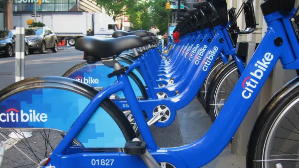
The United States' Top Large City for Biking Is...
Portland (top city in 2012)? Minneapolis (top city in 2010)? No, it's the Big Apple! New York City leaped from #7 in 2012 to the top spot this year for cities with populations of 100,000 or greater.

Planetizen Federal Action Tracker
A weekly monitor of how Trump’s orders and actions are impacting planners and planning in America.

Eastern Nebraska is running out of electricity
Data centers and electrification are straining eastern Nebraska’s grid, throttling economic development.

Study reveals best places in the U.S. for cycling, walking
New research from Streetlight Data examines bicycle and pedestrian miles per capita in the 100 largest U.S. cities by population.

DSA members accuse Mamdani of 'abandoning values' over housing redevelopment
New York City's mayor plans to replace about 2,000 units of public housing with private, mixed-income housing.

All sides of BRT debate unhappy with CDOT’s most recent move
The Colorado Department of Transportation is no longer considering center-running bus lanes for Colorado Boulevard.

Massachusetts bogs generate both power, and cranberries
Putting solar panels above farmland is one way Massachusetts is advancing toward its goal of net-zero carbon emissions by 2050.

FREE Course: Walkable City 1: Why Walkability?
After describing his path towards focusing on walkability as the essence of good planning, Jeff Speck marches through his five principal reasons for making more walkable places.
Reinventing Malls: Planning Alchemy—Turning Gray Fields Into Gold
The course focuses on the opportunities and imperatives that shape reinvention of mall sites.

City of Rosemead
Rutgers University, Edward J. Bloustein School of Planning and Public Policy
One Hundred Miles
University of Michigan School for Environment and Sustainability (SEAS)
Hunter College, City University of New York (CUNY)
The Architects Foundation
City of Cambridge
The Pocatello Development Authority
The Urban Renewal Agency of the City of Pocatello

