New archaeological findings suggest that ancient Mesopotamian cities did not develop by spreading outward from a central point, but rather by clustering nearby villages into larger cities.


"Contrary to the assumption that ancient cities always grew outwards from a central point, the urban site of Tell Brak in north-eastern Syria appears to have emerged as several nearby settlements melded together, according to researchers' analysis of archaeological evidence."
"Experts say that the findings lend support to the theory that early Mesopotamian cities developed as a result of grassroots organisation, rather than a mandate from a central authority."
"Located in north-eastern Syria, Tell Brak lies between the Tigris and Euphrates rivers and can therefore be considered as an ancient Mesopotamian site. It is thought to have been settled as early as 6000 BCE, according to Harvard University researcher Jason Ur."
"The archaeologists determined the presence of six discrete settlements dating back to between 4200 and 3900 BCE about 500 meters from the central site at Tell Brak. Ur says it is still unclear whether these six settlements represented offshoots from the central site, or migrants coming from faraway places to settle."
"Either way, the site does not show a pattern suggesting that it spread gradually outwards in concentric circles from a central point, as one might expect, he notes."
Read the full story: Mesopotamian city grew regardless of kingly rule


Planetizen Federal Action Tracker
A weekly monitor of how Trump’s orders and actions are impacting planners and planning in America.

The state-sanctioned urbicide of Austin
People don’t kill cities. Freeways do.
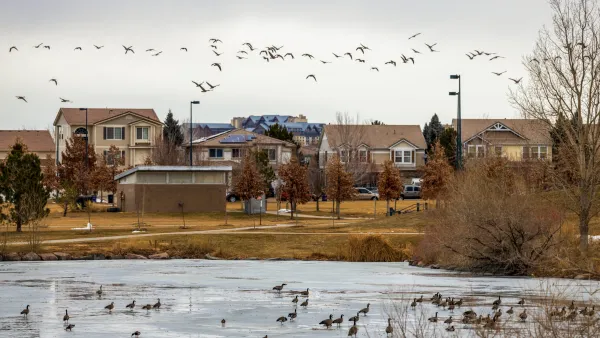
Colorado’s Largest Data Center Could Rise Next to Homes — Without a Public Hearing
The proposed campus would consume 11 times the power of Denver International Airport; as it has across the country, opposition mounts.

Nation's most wind-powered state turns to coal as data centers increase energy demand
For the first time in decades, Iowa has increased its generation of coal power.

NYC cools commuters with city's first rain garden above a bus stop
New York City officials say the plants in the rain garden can absorb 16 gallons of rainwater during heavy storms.

Brightline West’s future may rely on $6 billion federal loan
The company has until Nov. 2 to make a $400 million equity investment into its proposed high-speed rail line.

FREE Course: Walkable City 1: Why Walkability?
After describing his path towards focusing on walkability as the essence of good planning, Jeff Speck marches through his five principal reasons for making more walkable places.
Reinventing Malls: Planning Alchemy—Turning Gray Fields Into Gold
The course focuses on the opportunities and imperatives that shape reinvention of mall sites.

Greater Baltimore Committee
Eagle County Government
Harvard University Graduate School of Design
The Architects Foundation
University of Cincinnati Online
The Pocatello Development Authority
The Urban Renewal Agency of the City of Pocatello
Journal of the American Planning Association