Cambridge discovered that the most tree loss was occurring on residential lots rather than city-owned property.


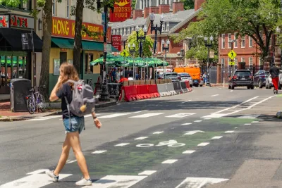
Officials in Cambridge, Massachusetts, expected "the burden to grow [tree] canopy” to fall on the city when it began assessing its canopy distrubution, Smart Cities Dive reports. But when the city used lidar, a technology that uses laser beams to measure distances and movement, it discovered that “the biggest [canopy] losses were occurring on residential lots rather than city-owned parks and rights-of-way,” Robyn Griggs Lawrence writes.
After collecting the data, Cambridge pivoted from its original plan to restore its tree canopy. The city chose to issue an ordinance requiring residents to plant replacement trees or pay into the city’s tree mitigation fund if they removed significant trees, and to get a permit for all significant tree removal.
Smart Cities Dive reports:
Last year, Cambridge again used lidar data to determine that the city’s tree canopy increased by 5% from 2018 to 2024. Trees now shade 30% of Cambridge, the city said, and “continued targeted plantings and protection of mature trees will help keep this positive trend going.”
Read the full story: The city discovered that the most tree loss was occurring on residential lots rather than city-owned property.
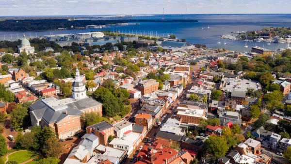
Annapolis Unveils Interactive Map to Boost Urban Tree Canopy
Annapolis has launched an interactive Tree Canopy Map to engage residents in urban forestry efforts, highlighting tree coverage data and encouraging community involvement to achieve the city’s 50 percent canopy goal by 2050.

Trees Are Worth the Investment
Trees improve cities by controlling temperature, absorbing water and carbon dioxide, and adding beauty.

Cooling L.A.
Changing the color of L.A. streets and growing out the urban canopy are part of a campaign to fight the heat island in and around Los Angeles.

Planetizen Federal Action Tracker
A weekly monitor of how Trump’s orders and actions are impacting planners and planning in America.
Eastern Nebraska is running out of electricity
Data centers and electrification are straining eastern Nebraska’s grid, throttling economic development.
Washington state to charge fee to drivers with fuel-efficient cars
Revenue from the fee will go towards supporting the state’s highways.

How a Massachusetts city used laser beams to find the root of its tree loss
Cambridge discovered that the most tree loss was occurring on residential lots rather than city-owned property.

Instead of building new housing, LA developers are turning mansions into mega-mansions
In the richest areas, the number of houses valued at $30 million with demolition permits has skyrocketed since 2018.

Illinois considers spending $1 billion in taxpayer money on data center
A quantum computing campus and data center are currently under construction in Chicago.

FREE Course: Walkable City 1: Why Walkability?
After describing his path towards focusing on walkability as the essence of good planning, Jeff Speck marches through his five principal reasons for making more walkable places.
Reinventing Malls: Planning Alchemy—Turning Gray Fields Into Gold
The course focuses on the opportunities and imperatives that shape reinvention of mall sites.

City of Charlotte
City of Rosemead
Rutgers University, Edward J. Bloustein School of Planning and Public Policy
University of Michigan School for Environment and Sustainability (SEAS)
Hunter College, City University of New York (CUNY)
The Architects Foundation
University District Partnership
City of Cambridge
The Pocatello Development Authority