The pros and cons of ArcGIS Urban, CityEngine, AI assistants and more notes from the 2026 Esri User Conference.



This year I had the opportunity to attend the Esri User Conference in San Diego. For one week, I joined 20,000 fellow GIS professionals in this immersive experience and, as a young planner, it truly felt like a rite of passage. I had the chance to hear from leading industry experts about the latest advancements Esri has made and see real-world examples of how organizations around the globe are implementing these software modalities in their everyday work.
From the start of the plenary session, it was evident that Digital Twins and AI would dominate the discussion of the conference. Specifically for the planning field, ArcGIS Urban and ArcGIS CityEngine were showcased to improve workflows, inform decision making, and drive better outcomes. After watching the demonstrations and speaking with Esri professionals, I could see how digital twins will usher in the next generation of GIS, especially in the planning industry.
‘Can we build it?’
A digital twin is a data-driven virtual representation of real-world entities and processes, synchronized at a specified frequency and fidelity.
They have already been implemented in a variety of sectors, including facility operations, emergency management, defense, design, and construction. In the planning field, digital twins can evaluate land use, zoning, and development impacts and enable data-driven scenario planning, based on defined strategies. They can improve equity analysis by evaluating community-level impacts. Digital twins also allow opportunities for public engagement through interactive, visual storytelling of future plans and developments. Several panels at the conference showcased two interfaces: ArcGIS Urban and ArcGIS CityEngine. ArcGIS Urban is an application available through ArcGIS Online and ArcGIS CityEngine is a separate application you must download to your desktop. Both interfaces can be utilized to build a 3D map of your town or city, but have different capabilities and answer different questions.
As a Planner and GIS Specialist, I was looking at Urban and CityEngine for what could have the most utility for client towns and deliverables. And from what I observed at the conference, I believe ArcGIS Urban could make that a reality. While CityEngine answers the question, what will it look like? Urban answers, can we build it? I think CityEngine is an important, advanced software but will be better utilized by architects and designers looking to give clients a more detailed picture. Urban, on the other hand, is a planning platform, not just a visual tool. It shows a 3D base map of what can be built and can provide past, present, and future scenarios. Particularly, the benefits for showcasing housing development scenarios will be extremely impactful. It can map where housing could realistically fit and model scenarios based on existing zoning codes and future amendments. And best of all, it's easy to get started. All you need is parcel data and zoning information!

In action
I was able to see multiple case studies that simultaneously used Urban and CityEngine to create digital twins and solve problems. One case study featured work performed by Forward Pinellas, a planning agency that serves many cities in Florida. They utilized Urban and CityEngine to identify where new housing could fit and how they can shape zoning before it becomes policy. By utilizing this software, they were able to develop a digital twin that helps planners test zoning options before they are adopted and show how proposed rule changes will supply housing, density, and development outcomes the community is looking for.
Another case study in Nottingham, UK wanted to answer: How can a city make development review faster, more coordinated, and more transparent? Nottingham was facing several challenges, including difficulty communicating the city’s vision, slow and uncertain urban development decisions, unclear understanding of site constraints and capacity, and time-consuming initial project reviews. By developing a digital twin, they were able to give planners, developers, and stakeholders a shared view of proposed development, which reduced uncertainty, improved coordination, and turned project review into a measurable, repeatable workflow. They also saw a 2:1 return on investment over a 10-year period, which is definitely an added bonus.
Pros and cons
I could also see how digital twins can improve public engagement processes and expand transparency with the public. It was emphasized at the conference that twins should not be used solely for internal systems but also to communicate with the public more effectively. The 3D environment allows viewers to immerse themselves in the map and have a better understanding of what a new project will actually look like on the ground. This builds trust with the community and raises the quality of public engagement. Both Urban and CityEngine can inform better decision-making for future growth and are often used in tandem to make a well-rounded twin.
However, a potential limitation to utilizing these applications is the cost. A Professional user type is needed to access CityEngine and a Professional Plus user type is needed to access Urban. The price associated with these user types is significant in comparison to the Basic user type. For small towns and organizations with limited GIS staff, it could be difficult to justify the increased cost to access the applications, if they are only using them to play out scenarios. I think it would be beneficial if a version of the applications were available to Basic users so that smaller organizations have the opportunity to try out the services and see if they are something they will use long term, before they commit to a more expensive subscription.
Additionally, in order to maintain a digital twin, GIS staff will need to actively manage it. Like cities, digital twins are dynamic living systems and should not die after one project. This will result in increased staff time dedicated to supporting the system, which has the likelihood to strain resources. Due to the cost and added workload, there is potential for disparity among who will have access to this technology. By keeping this advanced software at a higher cost, there is the possibility for it to only serve wealthier districts and therefore boost better development in areas that are already at an advantage. Technology such as this should be available to all communities and in the future, I would like to see these applications available in a way where all towns, cities and states have equitable access to these applications and are able to create twins that help support planning in an informed and envisioned way.
An AI assist
Another key item exhibited at the conference was the development of an AI Assistant. I observed multiple panels that gave tutorials and demonstrations of how AI in GIS allows you to use natural language to help with workflows and spatial analyses. One demonstration during the plenary session showed an example of the user needing to see different bike patterns in NYC. The demonstrator typed in a phrase that prompted AI to highlight the desired routes. Within seconds, the AI Assistant was able to answer the user's question and perform the analysis. This use of AI seems different from other AI chats because it is contained within the data you are working with. Other demonstrations showed that if you asked a question that was unrelated to the dataset you were working with, it would not be able to answer your question or perform the analysis. Crucially, it was emphasized throughout the conference that AI should be used as a tool and not as a replacement.
This sentiment was echoed during the Planning and Community Development SIG discussion, where planning professionals were able to have an open discussion about the advancement of AI in the planning field beyond GIS. Many folks stated that their organizations are still exploring how to use it and when it is ethical. Esri professionals led the discussion so that they could ascertain how GIS and planning professionals are feeling about AI and how they can continue to be open with our community as they develop new software. Everyone has their own opinion when it comes to AI, whether it's related to environmental effects, land use impacts or even to cognitive development. So, it was encouraging to see that other planning professionals are talking about it and are trying to understand its impact. However, from what was highlighted at the conference, AI has been around for a long time in the GIS world and will only continue to advance.
Looking ahead, planners have an important role to play in communities and how they develop, and by using advanced technology cities can be developed smarter, faster, and with more understanding. The conference made it clear that digital twins will be the next generation of the GIS dashboard and that while AI will continue to grow, human creativity will always be needed to make communities a desired place to live. We should continue to ask ourselves: how can we use technology to enhance our work by expanding our ability to analyze, collaborate, and communicate?
--
Dedicated to advancing sustainable planning in New Jersey, Topology Planner Stephanie Specht supports GIS projects, Preliminary Investigation Reports, and land use applications, with recent work in Hoboken, Cranford, and multiple affordable housing initiatives. She brings prior experience as a GIS Analyst and Environmental Planner for Ocean County, NJ, where she helped preserve more than 8,000 acres of farmland and open space. Stephanie holds a BS in Environmental, Geographical and Geological Sciences with a focus in Geography and Planning from Bloomsburg University and a GIS Certificate from Michigan State.


AI for Planners Explained: Urban Digital Twins
When AI stops talking and starts showing.

Washington DC Launches Open Data Chatbot
City data is now available literally at the public’s fingertips, no data analytics skills required.
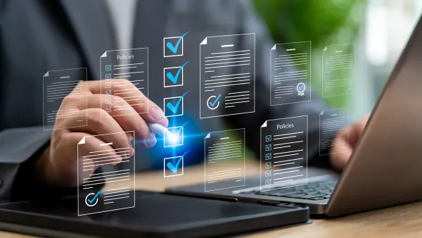
Does every planner need an AI policy?
From a hundred-person agency to a one-person consultancy, the answer is yes. The difference is what “policy" means.

Planetizen Federal Action Tracker
A weekly monitor of how Trump’s orders and actions are impacting planners and planning in America.
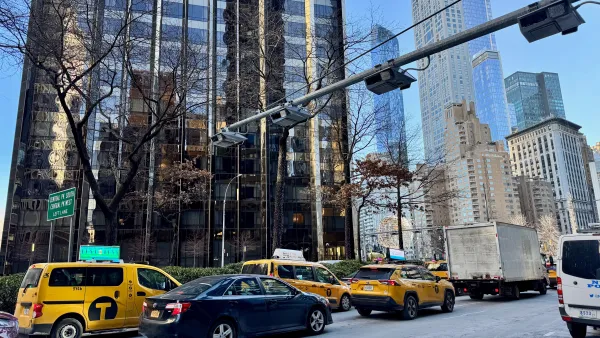
Data reveals that NYC’s bet on congestion pricing has paid off
After almost two years of the program, reports show positive impacts on traffic and air quality and no disruptions to parking.
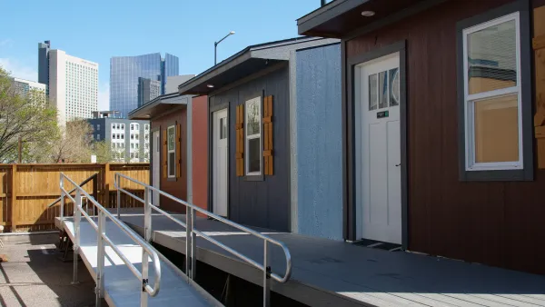
Denver is solving homelessness. Why aren't the rest of us?
Since 2023, Denver's street homeless population has decreased by 64%, proving that effective tools exist to support those in need of housing.

Michigan needs billions to save its water infrastructure. The state won't fund it
Michigan needs to invest $2.8 billion per year over the next 20 years to fix its water infrastructure. The FY 2027 budget allocates only $27.9 million.

Trump asks Supreme Court to allow border wall through Texas national park
Judge Kathleen Cardone previously blocked the Big Bend border wall project, and Texas’ Land Commissioner has spoken out against it as well.

This MA town is drowning in its own sewage — and residents like it that way
Susan Murcott, a waste water expert, said if Carlisle didn't address their leaking sewage, the problem could turn “deadly.”

FREE Course: Walkable City 1: Why Walkability?
After describing his path towards focusing on walkability as the essence of good planning, Jeff Speck marches through his five principal reasons for making more walkable places.
Reinventing Malls: Planning Alchemy—Turning Gray Fields Into Gold
The course focuses on the opportunities and imperatives that shape reinvention of mall sites.

City of Rosemead
Rutgers University, Edward J. Bloustein School of Planning and Public Policy
One Hundred Miles
The Architects Foundation
University of Cincinnati Online
Montrose County
Northern Illinois Transit Authority (NITA)
The Pocatello Development Authority

